
Description
uDig
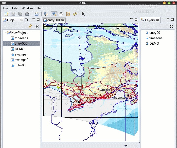
uDig is a super handy, open-source software that lets you view and edit spatial data. It's built using Java and Eclipse technologies, making it user-friendly and free to use! This app really focuses on the OpenGIS standard, which is pretty cool.
What Makes uDig Special?
This software is designed to support Internet GIS (Geographic Information System) along with Web Feature Server standards and Web Map Server. Basically, it gives you a solid Java platform to create spatial applications packed with open-source components.
Easy to Use Anywhere
You can use uDig as a standalone application – no installation needed! Just make sure you've got the latest JRE (Java Runtime Environment) on your device. Plus, it's easy to extend through RCP plugins or even add it as a plugin in an existing RCP (Rich Client Platform) app.
Internet Oriented Features
One of the coolest things about uDig is that it's internet-oriented. It works with standard geospatial web services like WMS, WPS, WFS, GeoRSS, tiles, and KML. This means you can quickly build complex analytical tools without any hassle.
Getting Started on GNU/Linux
If you're looking to run uDig on your GNU/Linux system, you'll need to download the right pre-built binary package for your computer's architecture (32-bit or 64-bit). Don't forget to grab the sample data too! Save both files in your Home directory.
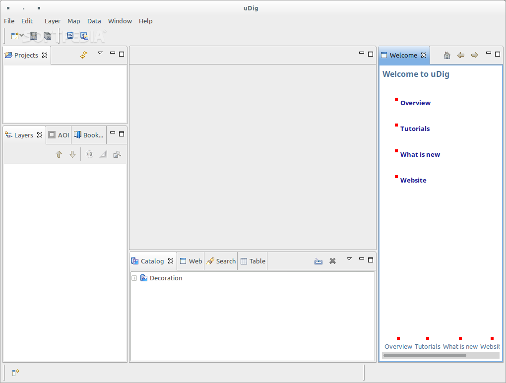
Launching uDig
Once you've downloaded everything, just unpack those archives. To kick off the application, double-click on the udig.sh file from the ‘udig’ folder. Then just drag and drop a file from your sample data into uDig’s main panel and you're good to go!
A Cross-Platform Champion
The best part? Since uDig is written in Java, it runs smoothly on any operating system that supports Java Runtime Environment (JRE). So whether you're using GNU/Linux, Mac OS X, or Microsoft Windows OSes – it's got you covered for both 32-bit and 64-bit systems!
If you're eager to download uDig, check out SoftPas for more info!
User Reviews for uDig FOR LINUX 7
-
for uDig FOR LINUX
uDig FOR LINUX is a fantastic open-source application for viewing and editing spatial data. Its user-friendly interface and support for various GIS standards make it a must-have tool.
-
for uDig FOR LINUX
uDig is an incredible tool for anyone working with geospatial data! It's user-friendly and the open-source aspect is a huge plus.
-
for uDig FOR LINUX
I love how easy uDig makes it to visualize and edit spatial data. The support for various GIS standards is impressive!
-
for uDig FOR LINUX
As a novice in GIS, I found uDig extremely accessible. The ability to work across platforms without installation is fantastic!
-
for uDig FOR LINUX
uDig has revolutionized my workflow! Its robust features and compatibility with web services make it a must-have.
-
for uDig FOR LINUX
This app is amazing! It's intuitive, powerful, and being open source means I can tailor it to my needs. Highly recommend!
-
for uDig FOR LINUX
uDig is a game changer in spatial data management. The ease of use combined with advanced capabilities earns it 5 stars!