
Description
Creating maps and developing road-networks can prove quite challenging to say the least, so, naturally the QGIS application comes into play here.
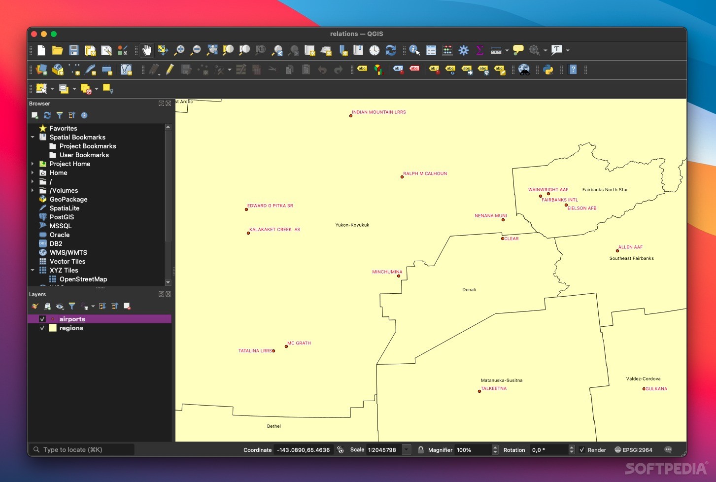
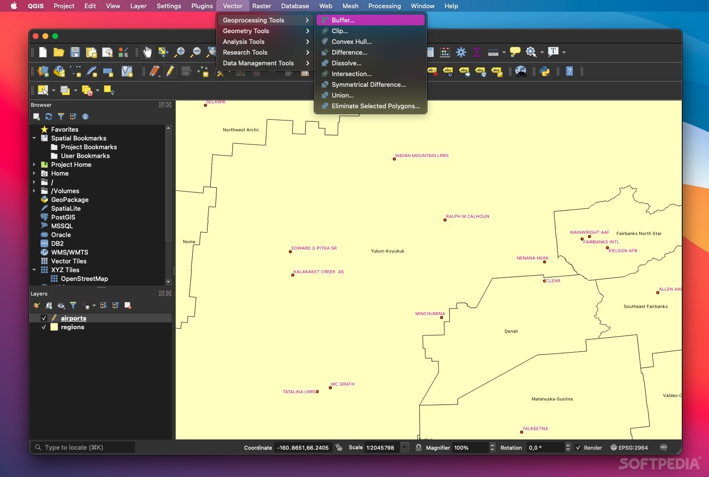
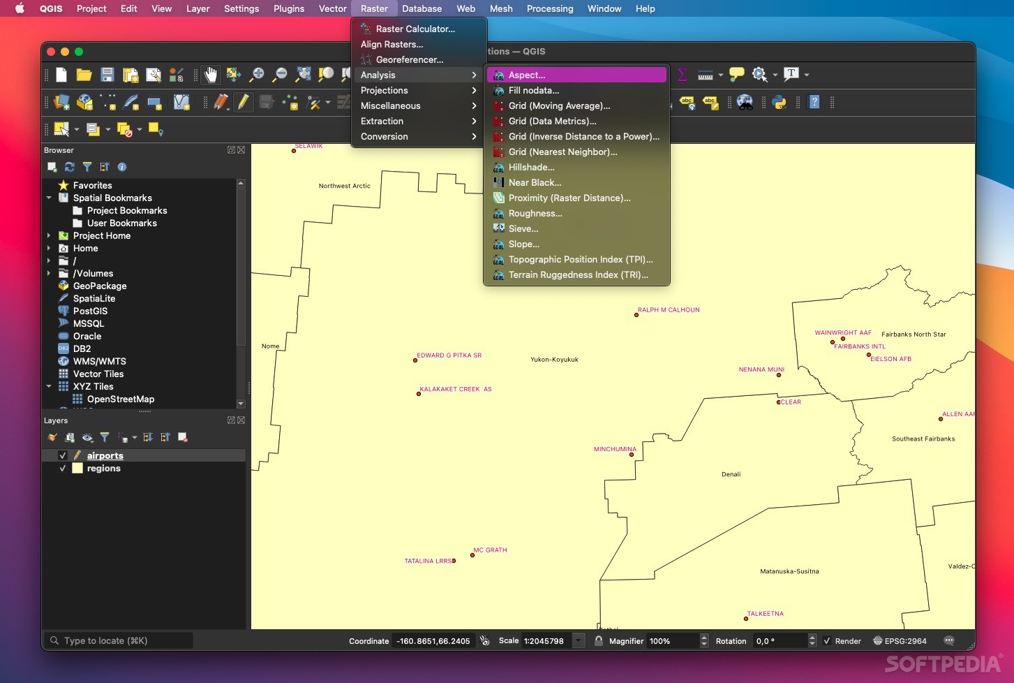
QGIS is a complex Geographic Information System application designed to help users create maps using a wide array of data formats such as vector, raster and databases.
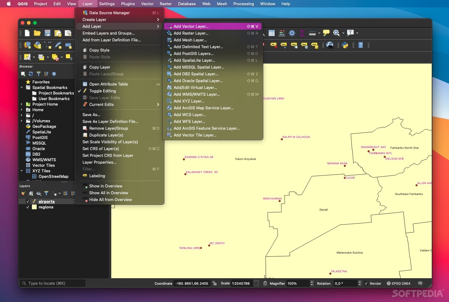
One of the most important features that QGIS has is the QGIS Desktop which enables users to create or import geospatial elements and data such as: maps, roads, streets, bridges, pedestrian highways, buildings, and, in fact, almost any kind of geo-space data structure you can think of.
Users have the possibility to analyze and preview data and metadata with the help of some very useful tools such as magnification tools or grabbing tools.
Another cool feature is that you can just drag and drop data from a datastore into the other one, thus transferring or overlaying information with just a few mouse clicks.
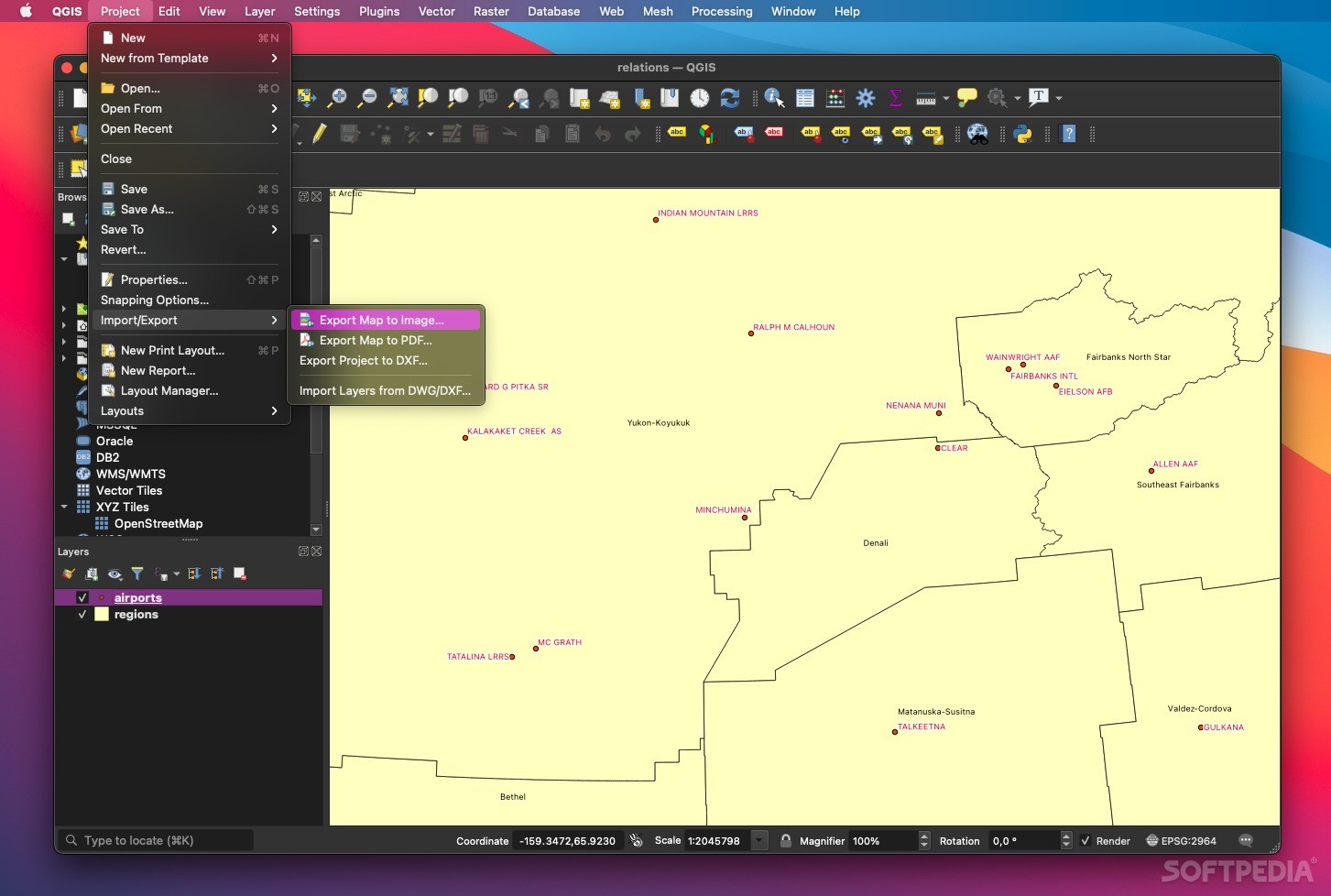
With the help of QGIS Browse and its control panel, one has the possibility to customize all the main characteristics of the layers, attributes, layouts and coordinates. Moreover, users can choose to export and publish their maps and data over the internet with the help of QGIS Server.
With its very simple interface design and its well-equipped arsenal of tools specialized in creating and editing map geo-data, Quantum GIS makes for a streamlined user experience.
Using QGIS will for sure be a little intimidating at first, but once you start to use it for a while, all the tools you need will be where you need them to be.
The QGIS app has immense potential and it is a great utility to have around if you need to build maps or road-networks.
QGIS is part of these download collections: GIS Tools
User Reviews for QGIS FOR MAC 1
-
for QGIS FOR MAC
QGIS for Mac provides a complex yet user-friendly interface for map creation, allowing easy data import/export. A must-have for GIS enthusiasts.