
Description
myPhotoMap
myPhotoMap is a cool app for Mac OS X that helps you make awesome map albums for your trips. With so many devices now able to geotag photos, it’s super easy to organize your holiday pics in a fun way!
Getting Started with myPhotoMap
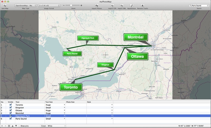
When you open the app, you’ll see a simple interface that makes it easy to navigate. To kick things off, just pick the type of map you want to use and choose the area for your album. myPhotoMap works with popular maps like OpenStreetMap Mapnik, MapQuest, OpenCycleMap, and Cloudmade charts.
Satellite Images from NASA
If you’re feeling adventurous, you can even use satellite images from NASA’s Blue Marble! Just zoom into the spot you want on the map.
Adding Your Own Pins
Next up is adding your own pins to mark all the cool places you've visited. The best part? myPhotoMap can also import routes via GPX or KML files! Plus, if your photos have GPS data, they’ll automatically show up as pins on your map.
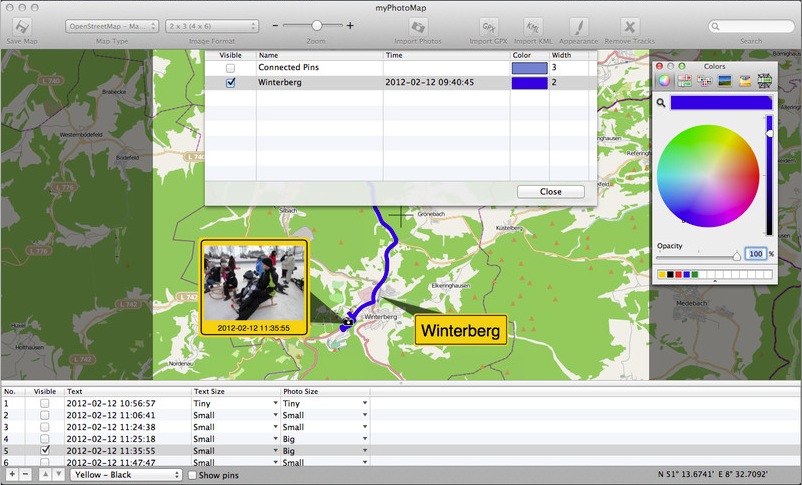
Manual Pinning Made Easy
No worries if some of your photos don’t have geotagging data. You can still manually place those images on the map wherever you want. Once everything’s pinned down, resizing the images is a breeze so they look just right!
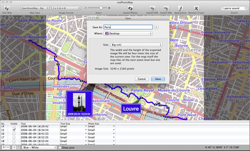
Exporting Your Map Album
Finally, when you're happy with how everything looks, exporting your map album is super simple! You can save it as a high-resolution JPG file that captures all those great memories.
A User-Friendly Experience
The user interface of myPhotoMap is straightforward and designed for quick use. It helps you create beautiful map albums by making the most out of your device's geotagging features or letting you pin photos manually wherever they belong. Ready to try it out? Check it out here!
Tags:
User Reviews for myPhotoMap FOR MAC 1
-
for myPhotoMap FOR MAC
myPhotoMap for Mac is a simple yet powerful tool to create map albums for your holiday pictures. Easy to use interface.