
Description
JMARS is an acronym that stands for Java Mission-planning and Analysis for Remote Sensing.
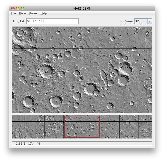
JMARS is a unique, easy to use geospatial information system (GIS) developed by ASU's Mars Space Flight Facility to provide mission planning and data-analysis tools to NASA's orbiters, instrument team members, students of all ages, and the general public.
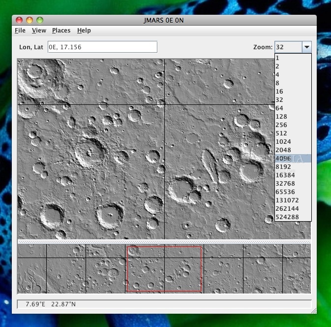
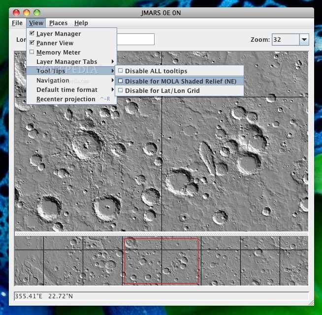
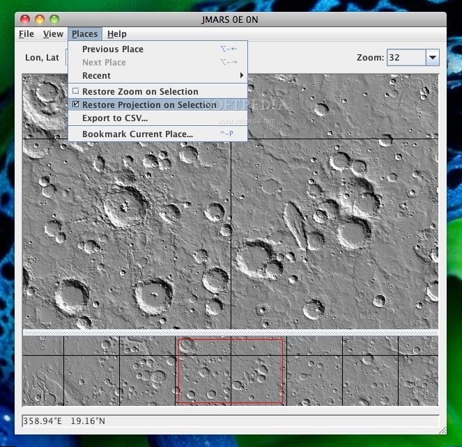
JMARS provides free and efficient access to more than a terabyte of NASA orbiter data, and has basic image and vector processing features to conveniently compare, plot, and blend data.
User Reviews for JMARS FOR MAC 1
-
for JMARS FOR MAC
JMARS FOR MAC is an outstanding geospatial tool with free access to NASA data. Easy to use, perfect for students and professionals.