
Description
Flight Path Tool
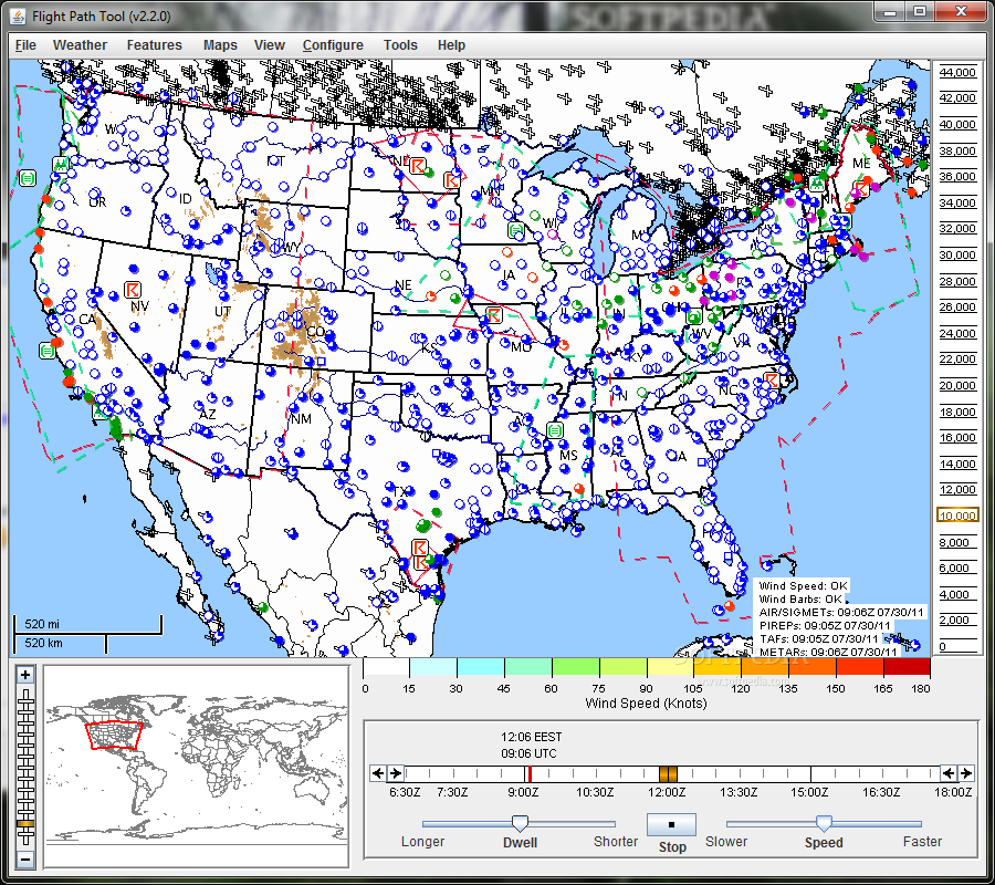
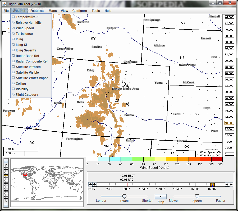
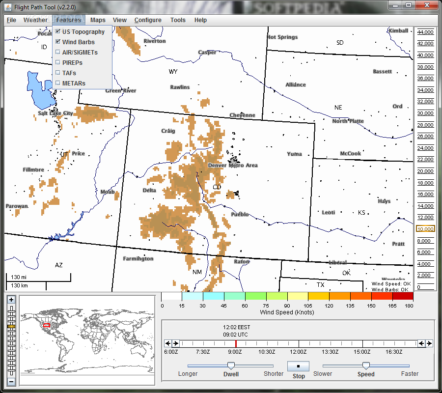
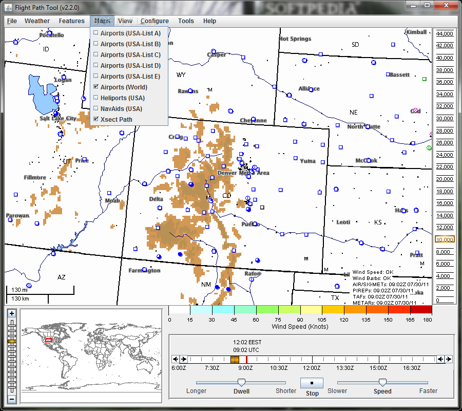
The Flight Path Tool is a revolutionary software designed by the National Center for Atmospheric Research to provide users with comprehensive overlay capabilities for various fields of interest related to flight planning and navigation.
Key Features:
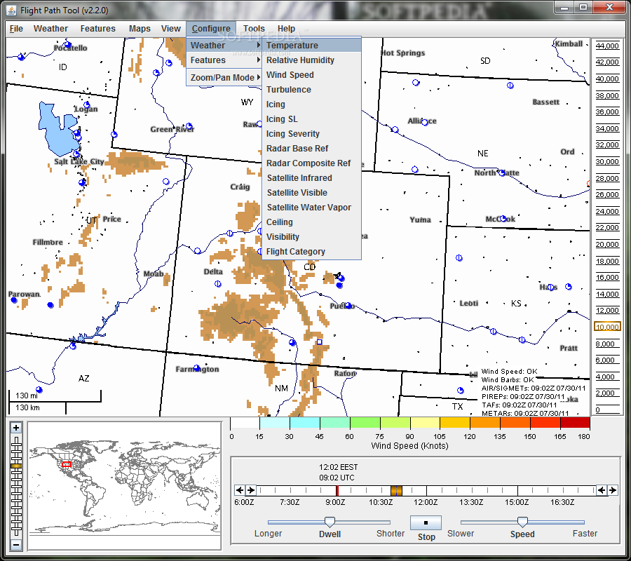
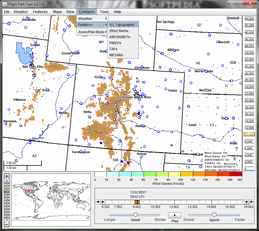
- Overlay multiple data fields such as icing, turbulence, convective diagnosis, and more
- Animate 3D data over time
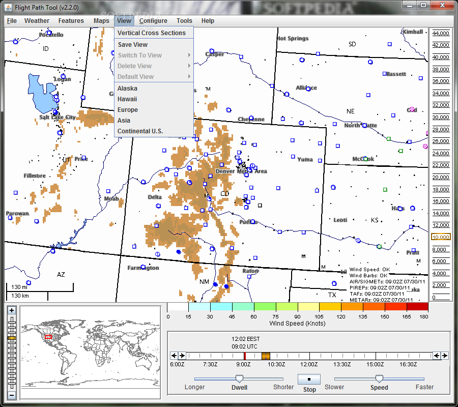
- Zoom in to any location on the globe with automatic projection switching
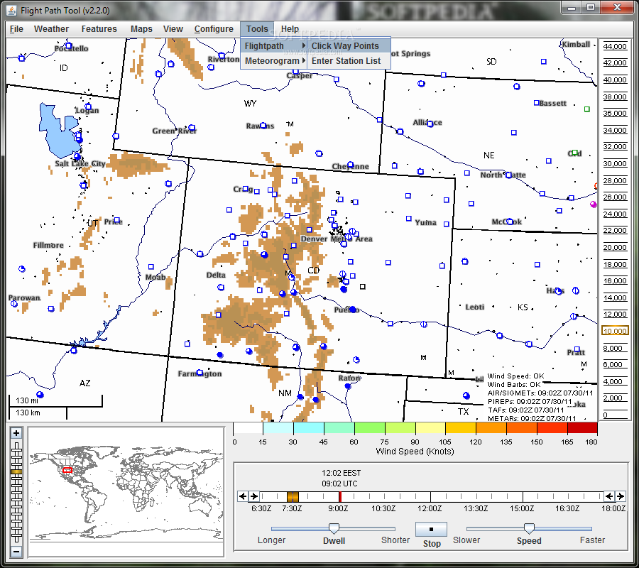
- Generate meteorograms for observed and forecasted conditions
Technical Specifications:
- Price: FREE
- Publisher: National Center for Atmospheric Research
- Compatible with: Windows, Mac
- File Size: Varies
- Version: Latest
The Flight Path Tool is a must-have companion for any pilot or aviation enthusiast looking to enhance their flight planning and decision-making process. With its advanced overlay and visualization capabilities, this software offers unparalleled insight into various meteorological factors that could impact a flight.
Whether you need to assess icing conditions, turbulence potential, or convective activity along your flight route, the Flight Path Tool provides a comprehensive solution to analyze and interpret complex weather data in real-time.
Take advantage of the tool's 3D slicing and animation features to visualize atmospheric conditions at different flight levels or generate meteorograms for specific surface stations. The possibilities are endless with the Flight Path Tool at your fingertips.
Get your hands on the Flight Path Tool today and experience the power of cutting-edge technology in aviation meteorology. Download it for FREE and elevate your flight planning experience to new heights!
For more information and to download the Flight Path Tool, visit the official publisher's website here.
User Reviews for Flight Path Tool 1
-
for Flight Path Tool
Flight Path Tool offers comprehensive data overlays for informed flight planning. Zoom feature and animated 3D data enhance user experience.