

Description
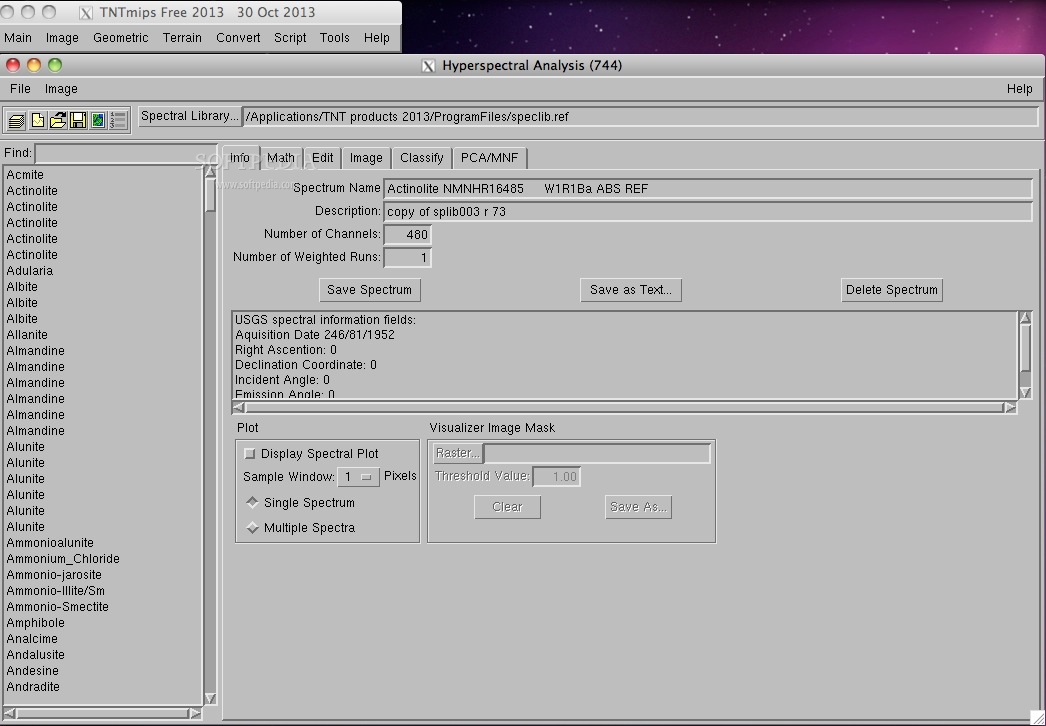
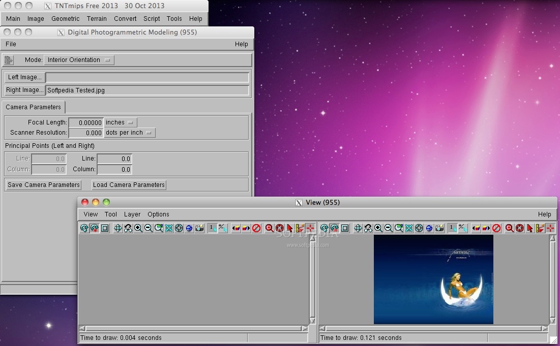
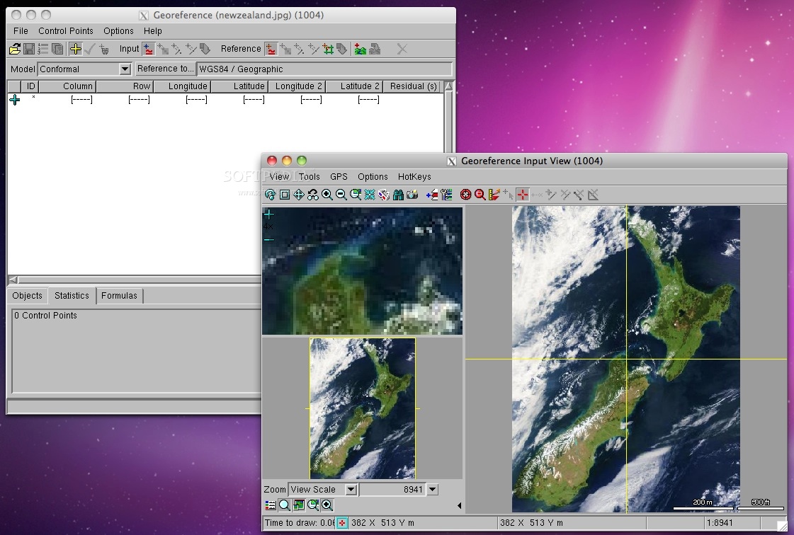
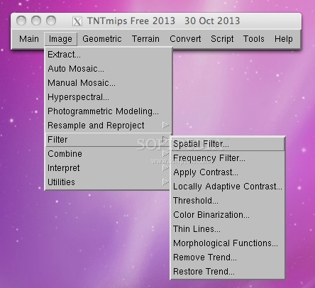
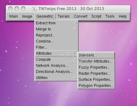
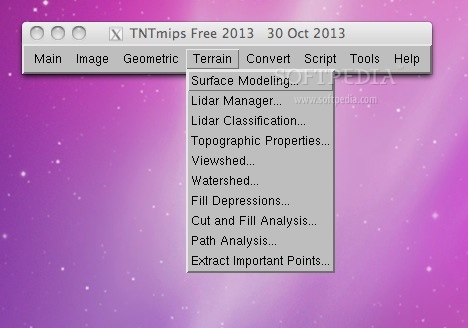
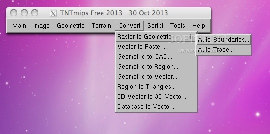
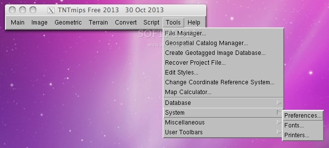
TNTmips is a professional geospatial analysis system providing a complete fully featured GIS, RDBMS, and automated image processing system with CAD, TIN, surface modeling, map layout and innovative data publishing tools.
All this capability is available in a single integrated system with an identical interface, functionality, and geodata structure for use on Mac OS X, Windows, Sun Solaris, and popular Linux platforms.
The interface, database text content, messages, map production, and all other internal aspects of TNTmips have been localized for use in 27 languages including Japanese, Chinese, Arabic, Turkish. Thai, German, Spanish, French and others.
The professional version of the TNTmips is in use in over 120 nations while the FREE TNTlite version (restricted in project size) is used in almost every nation for educational, self learning, and small projects (e.g., archaeological sites, neighborhood planning, and precision farming).
TNTmips features 80 application booklets and free tutorials that have step-by-step lessons.
TNTmips is part of these download collections: GIS Tools
User Reviews for TNTmips FOR MAC 1
-
for TNTmips FOR MAC
TNTmips FOR MAC offers a comprehensive geospatial analysis system with GIS, CAD, image processing tools. Ideal for professionals in diverse fields.