
Description
TNTatlas is a macOS geodata viewer that can be used to display geospatial information and map layouts. The utility is able to work with various formats, such as DWG, DXF, GeoTIFF, PNG, JP2, or MrSID.
TNTatlas is designed to provide support for the distribution of single layout of hierarchical atlases that have been created using the TNTmips editor developed by the same company. The utility can open any file that is using the RVC format proprietary to the TNTmips app.
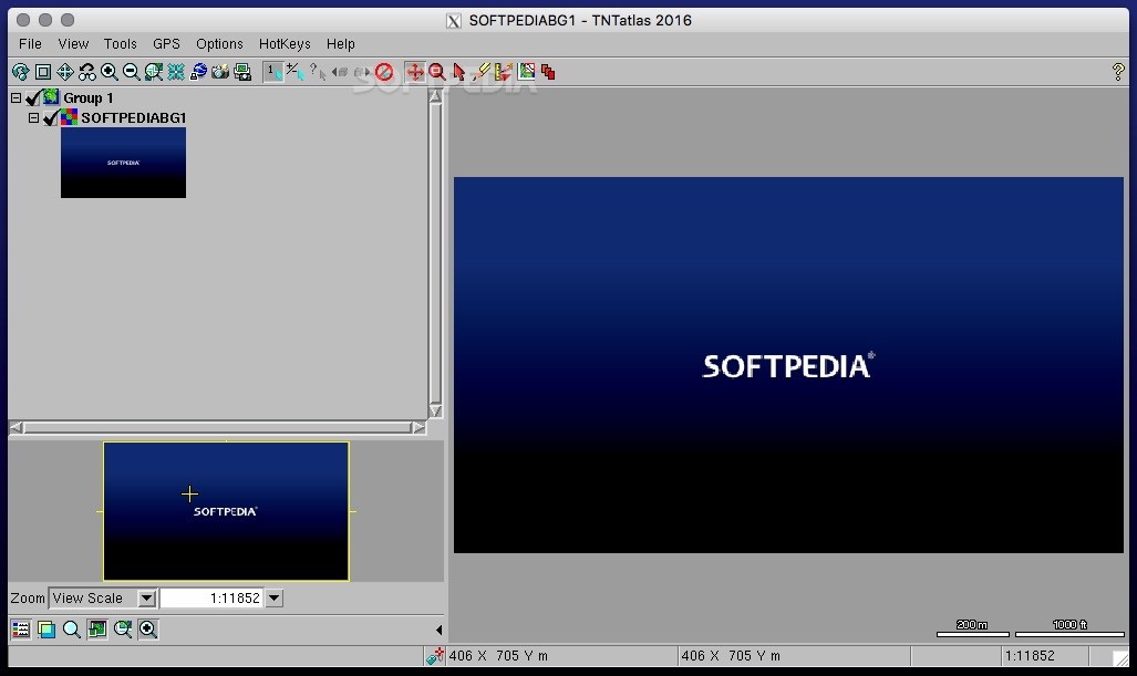
The TNTatlas main window is organized in two main areas, one for managing the available layers, and the other for visualizing their content. TNTatlas provides support for viewing all the related geographical objects included in a HyperIndex stack.
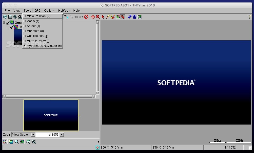
Within the TNTatlas user interface, the user is able to view extensive details about each object included in the map. You get to select map elements with the help of your mouse, or by making use of the HyperIndex Navigator.
TNTatlas also includes drawing tools that can be used to either highlight a region or perform various measurements. The utility provides support for using both geometric shapes and drawing irregular structures.
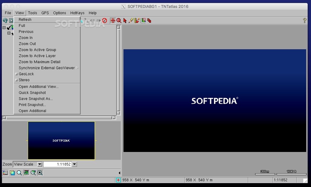
TNTatlas can open the area included in your current atlas in Google Maps, Google Earth, or Microsoft Bing Maps. The viewer can synchronize the TNTmips atlas with the online resources.
To sum up, TNTatlas is a companion application for the TNTmips GIS software that can help you distribute your maps and atlases.
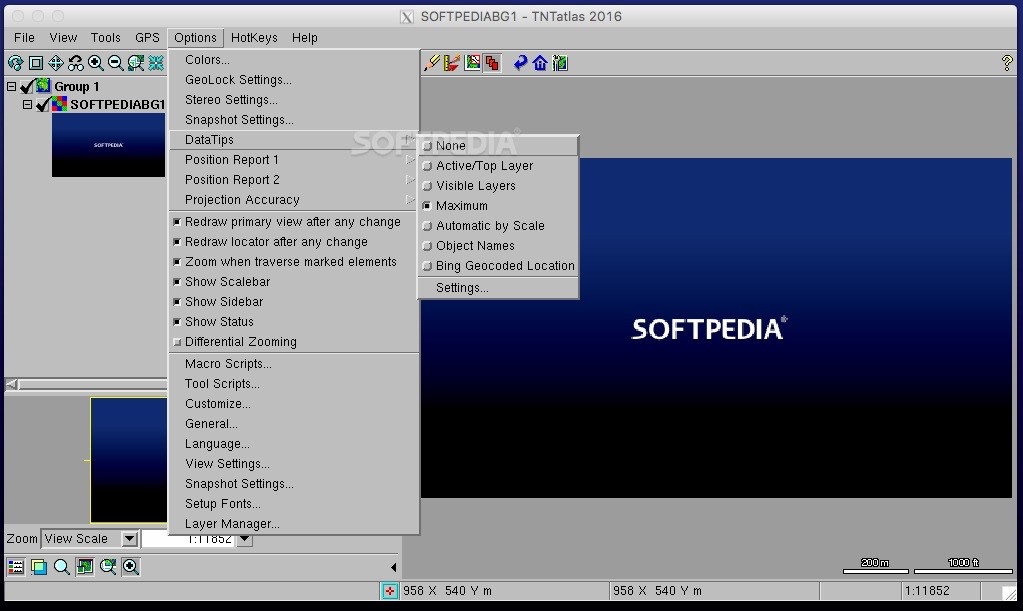
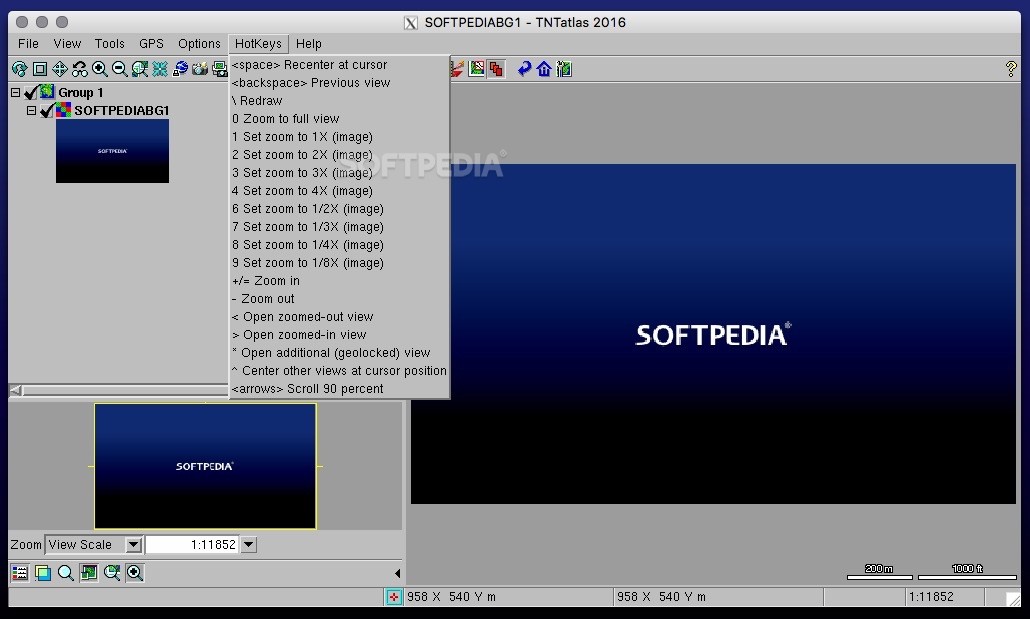
TNTatlas comes with an extensive collection of map management and selection tools, but you get to personalize the user interface and keep only the ones you think you might use.
User Reviews for TNTatlas FOR MAC 1
-
for TNTatlas FOR MAC
TNTatlas FOR MAC is a powerful geodata viewer with extensive tools for map management. The ability to work with various formats is impressive.