
Description
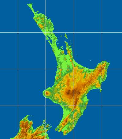
Digital Elevation Models usually provide 3D representations for various surfaces and can be used to store elevation details about a certain area on a map.
Moreover, SimpleDEMViewer is a fairly easy to use Mac app that enables you to visualize and navigate the information stored in this type of files.
Note that SimpleDEMViewer provides only viewing tools, so to get started, you must first import a DEM file: go to the File Menu and press the Open entry.
SimpleDEMViewer is able to open all sorts of file types that include digital elevation models: GTOPO30, ETOPO1, ETOPO2, ETOPO5, HYDRO1K, SRTM, SRTM DTED, SRTM30plus, GLOBE, GDEM and much more. A complete list is included in the SimpleDEMViewer online manual.
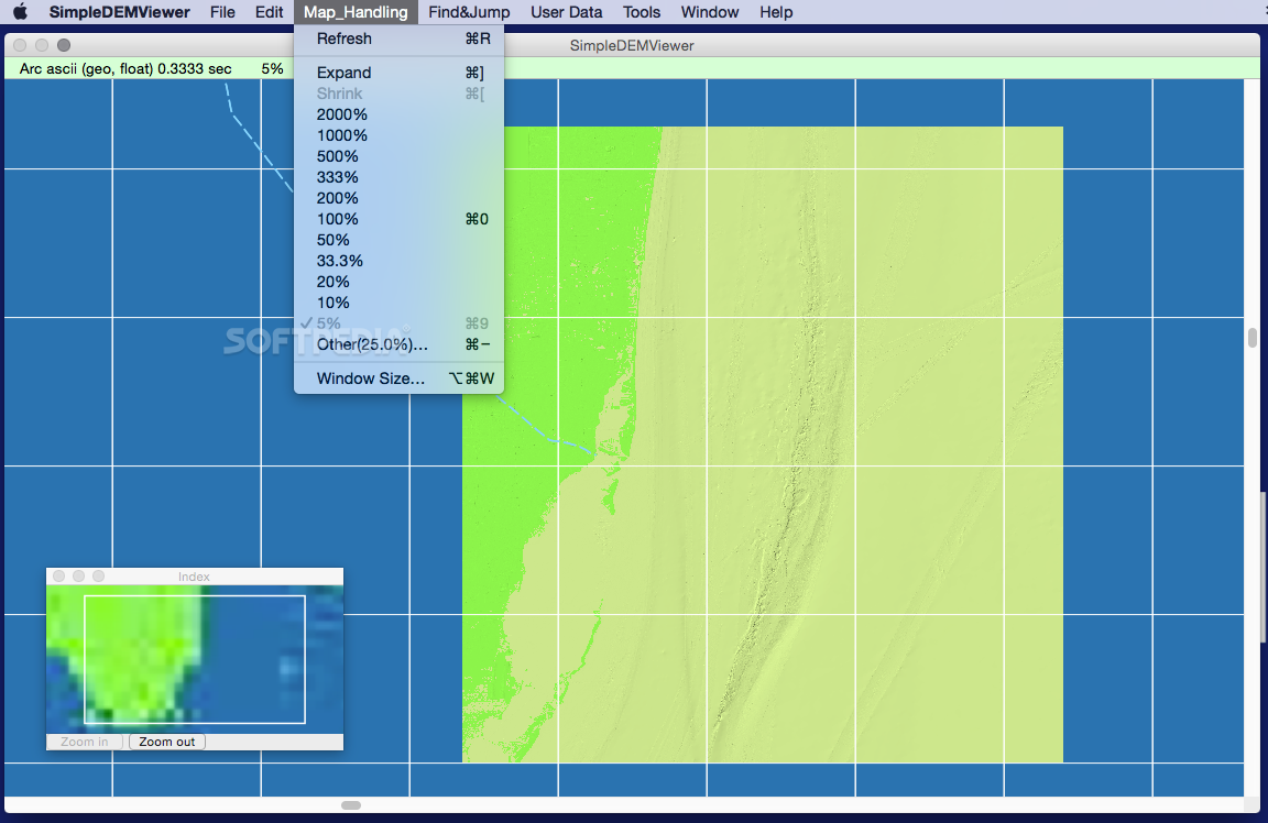
SimpleDEMViewer allows you to browse the elevation data and visualize the map representation in its main window. Moreover, you can refresh the rendition or choose to zoom in or out the images (via the Map Handling menu or by using the Command + [ or Commend + ] hotkeys).
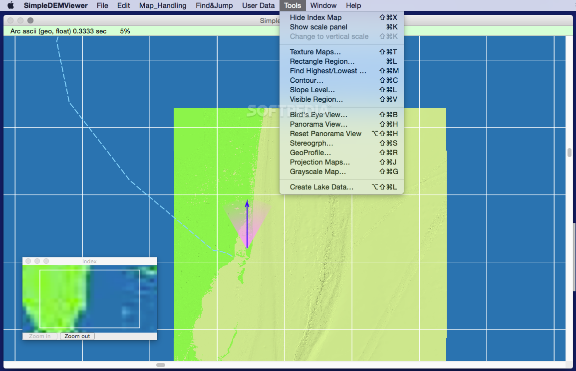
At the same time, you can adjust the viewing mode (bird’s eye or panorama), the map’s texture, contour or slope level. Other options include the possibility to generate stereographs, geo profiles, projection / grayscale maps or lake data.
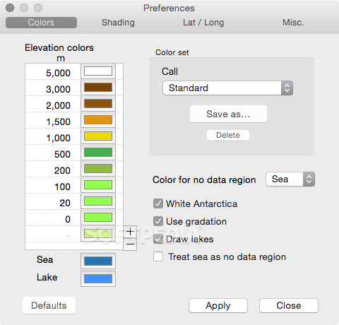
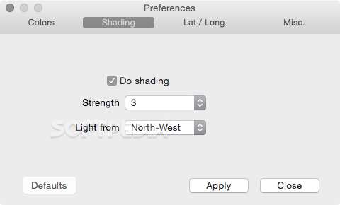
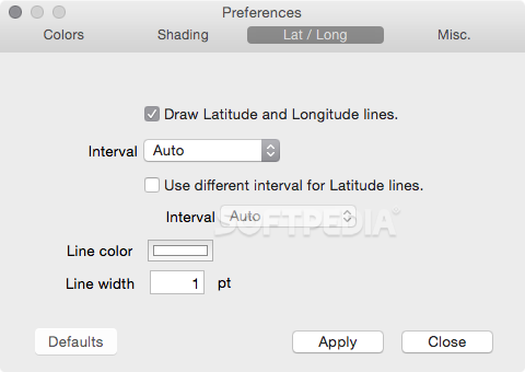
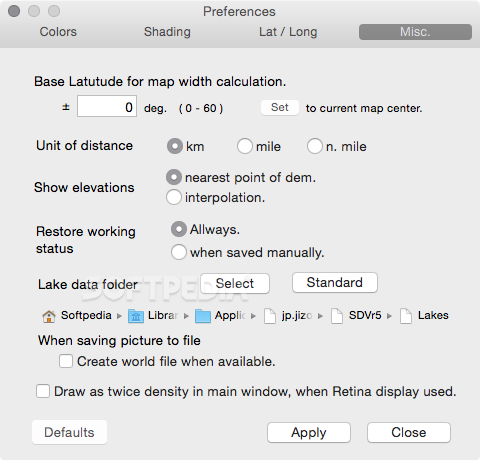
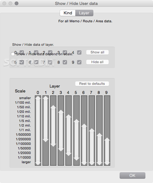
Through the SimpleDEMViewer Preferences window the user can adjust the color set for the elevation representation, toggle the shading effects or the latitude and longitude lines. One can also set up the default measurement unit (km, mile nautical mile) or the base latitude for the map width calculation.
SimpleDEMViewer also comes with a fairly simple user interface but is able to use the DEM file to generate different types of maps projections: Conical, Mercator, Azimuthal Equidistant, Azimuthal Equal-Area or Orthographic.
User Reviews for SimpleDEMViewer FOR MAC 1
-
for SimpleDEMViewer FOR MAC
SimpleDEMViewer FOR MAC provides a user-friendly interface to visualize elevation data. Easy navigation and various map projections make it versatile.