
Description
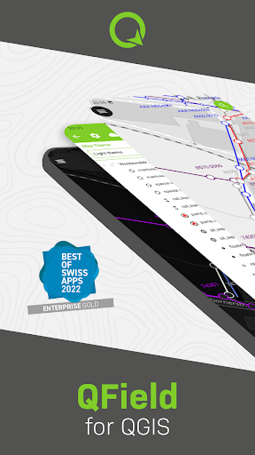
QField for QGIS
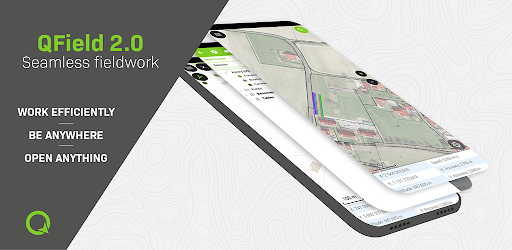
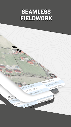
QField is a top-notch app designed to streamline GIS fieldwork and data exchange between field and office settings. It offers a user-friendly experience, ensuring seamless operations.
Key Features:
- Consumption of fully configured projects in the field
- Customized feature forms, map themes, and print layouts
- Editing of spatial vector and raster datasets
- Support for various formats like QGIS project files, GeoJSON, GeoTIFF, and more
- Location permission for marker overlay and data entry accuracy
Technical Specifications:
- Price: FREE
- Publisher: OPENGIS.ch
- Supported Formats: QGIS project files, GeoJSON, GeoTIFF, and more
- Permissions: Location for marker overlay and data entry accuracy
- Built on: QGIS open-source project
With QField, users can view, edit, and manage spatial datasets on the go, whether downloaded on the device, shared via email, or transferred through a USB cable. It offers a wide range of capabilities to enhance GIS workflows.
Contact OPENGIS.ch
If you are missing specific features or require assistance, OPENGIS.ch is ready to support you. Reach out to them at https://www.opengis.ch/contact/.
Bug Reporting
For any bug reports or issues, please submit them at https://qfield.org/issues.
User Reviews for QField for QGIS 1
-
for QField for QGIS
QField for QGIS streamlines fieldwork with customizable forms, themes, and more. A user-friendly and award-winning app that brings QGIS power to your fingertips.