
Description
PolarCOM
PolarCOM is a free tool that acts as a bridge for marine navigation data. It helps display all sorts of important information in one place, making it super handy for anyone who loves being on the water.
What Does PolarCOM Do?
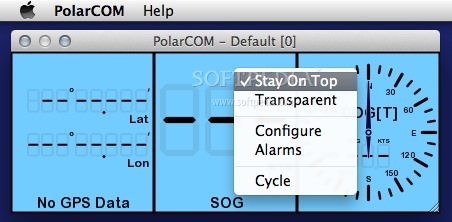
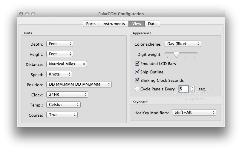
This software works on both Apple Mac OS X and Windows systems. It runs in the background, letting you see easy-to-read digital instrument views that you can customize however you like. Plus, it works great alongside PolarView chart displays!
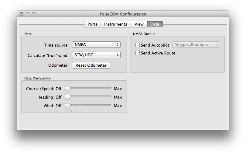
NMEA 0183 Compatibility
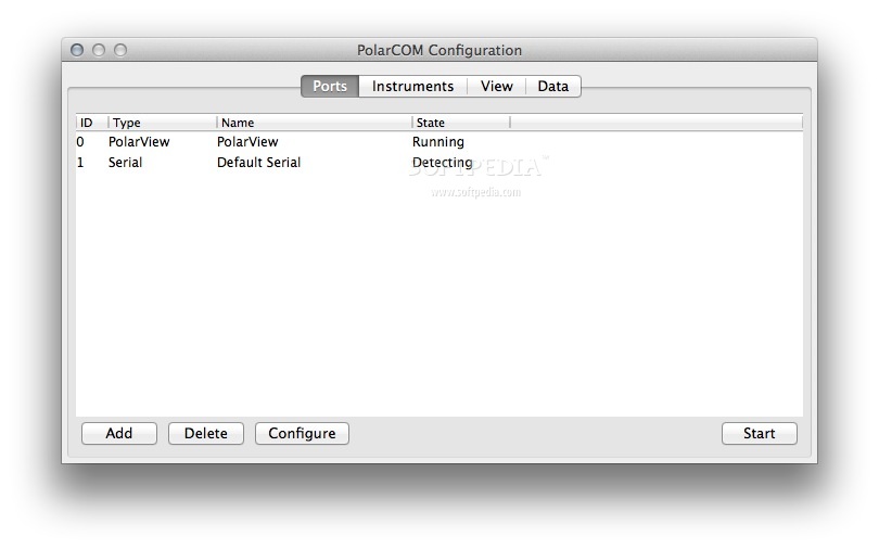
One of the cool things about PolarCOM is that it can bridge any NMEA 0183 compatible data. It knows how to understand and show data based on several sentences like GLL, GGA, GSA, GSV, VTG, RMC, and DBT.
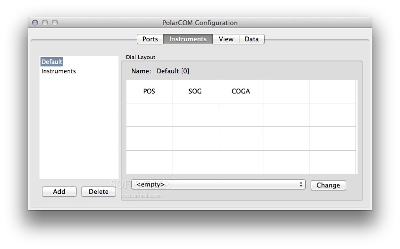
Instrument Types You Can Track
You can keep an eye on various types of instruments using PolarCOM, such as:
- GPS position
- Speed Over Ground
- Course Over Ground (True)
- Course Over Ground (Magnetic)
- Depth Below Transducer
- Time of Day
- GPS Satellite Status
If you're looking for a way to enhance your marine navigation experience with reliable data, definitely check out PolarCOM here!
Tags:
User Reviews for PolarCOM FOR MAC 1
-
for PolarCOM FOR MAC
PolarCOM FOR MAC provides seamless NMEA 0183 data integration for marine navigation. Easy to use and highly customizable.