
Description
PhotoLinker
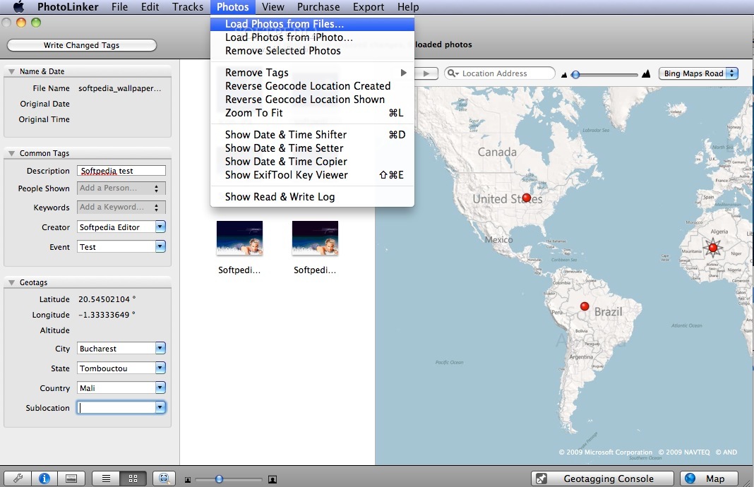
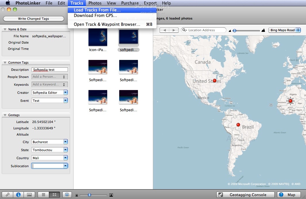
PhotoLinker is a handy tool that gives you a GPS track database and a browser. You can easily import saved track files from your computer or even download them straight from your GPS receiver!
Organize Your Tracks with Ease
Your tracks are automatically organized by date, and you can see them on an interactive map. Plus, you can change the size and color of the tracks to make it work just how you like it. This browser can handle tons of data, including years' worth of information and millions of track points!
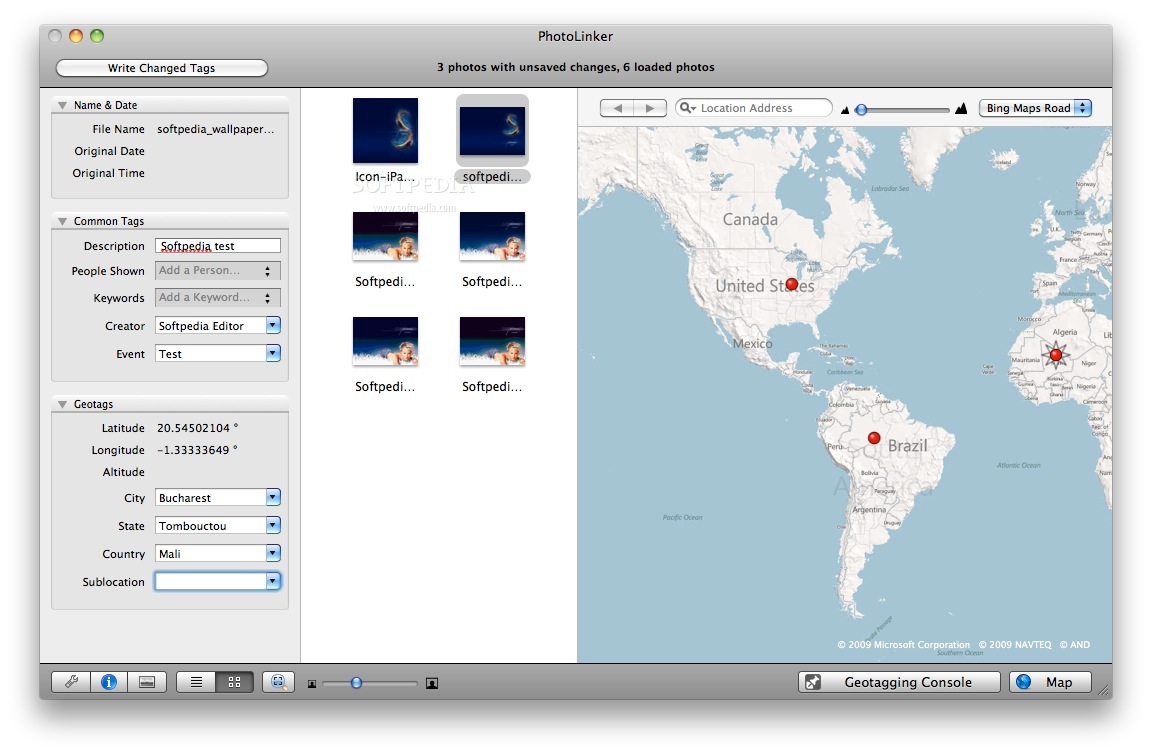
Customizable Metadata Editor
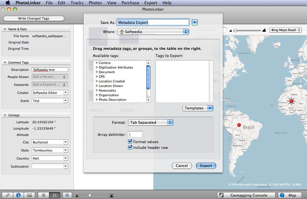
The metadata editor in PhotoLinker is super flexible. This means it helps keep your workflow smooth and efficient. You have control over how you want to tag your photos.
Compliance with Metadata Standards
PhotoLinker follows the latest recommendations from the Metadata Working Group (MWG), which were updated in September 2008 and revised in February 2009. You can trust that it meets current standards!
An Interactive Geotagging Tool
This software makes geotagging photos easy! It can automatically match your photos to a GPS track, showing suggested linking points on the map that update as you change criteria.
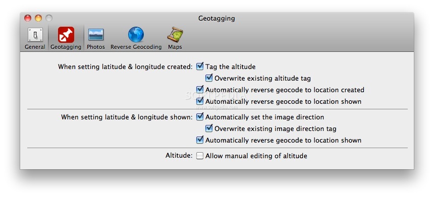
Manual Geotagging Options
If you prefer, you can also manually geotag your photos by choosing a spot on the map, entering coordinates yourself, or tagging them to waypoints. All three methods save latitude and longitude data to the photo—and altitude if it's available.
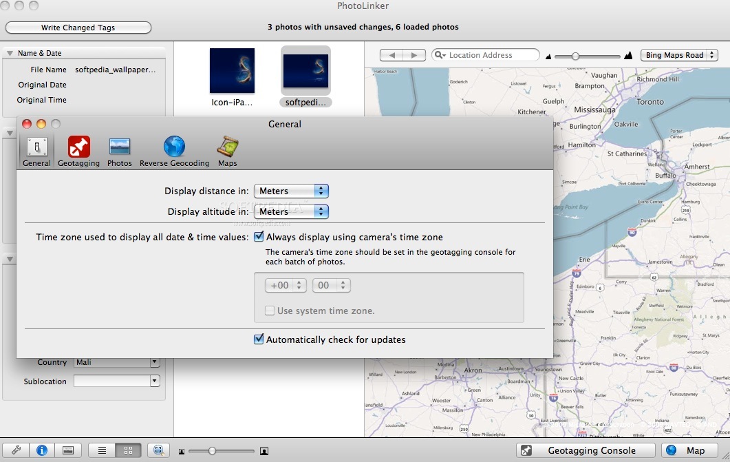
Your Preferences Matter
You get to decide what extra info gets saved with each photo! In PhotoLinker’s preferences, choose whether to include city, state, country, and elevation details.
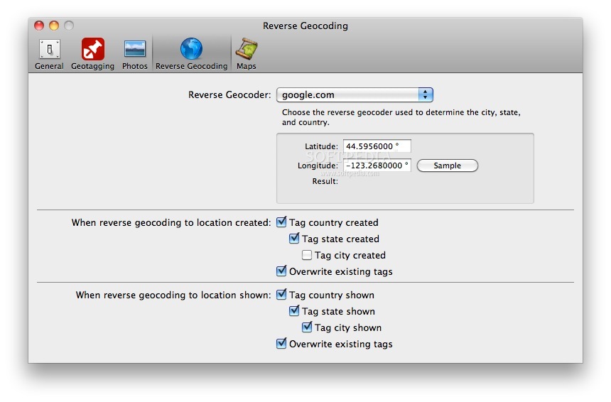
Easily Find Location Data
PhotoLinker checks out either Google Maps (maps.google.com, default), Microsoft's Terraserver (terraserver-usa.com) or GeoNames (geonames.org) to find out what city, state, and country match up with your latitude and longitude data.
If you're ready to take advantage of these features for organizing your GPS tracks and tagging photos effortlessly, check out PhotoLinker here!
Tags:
User Reviews for PhotoLinker FOR MAC 1
-
for PhotoLinker FOR MAC
PhotoLinker for Mac simplifies geotagging with customizable metadata editor and interactive map display. Streamlined workflow for efficient organization.