

Description
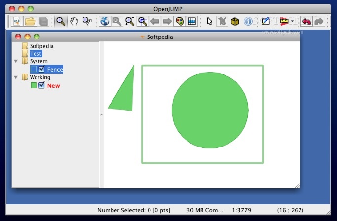
OpenJUMP is a handy, easy to use geographic information system developed using the Java programming language.
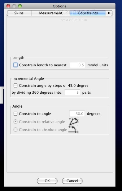
OpenJUMP allows you to read and write shapefiles or GML files and it even provides limited support for the display of images.
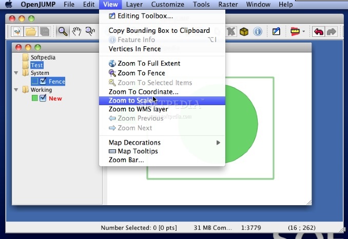
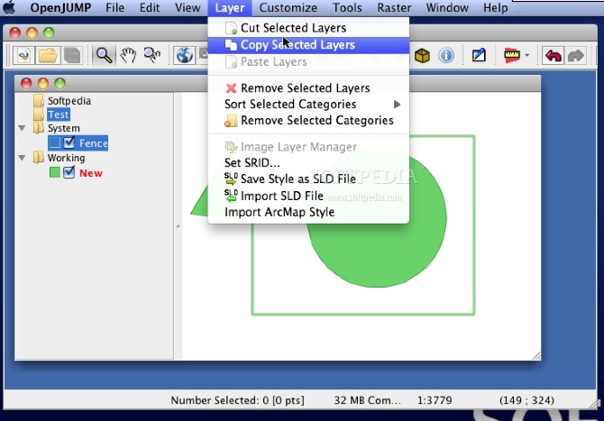
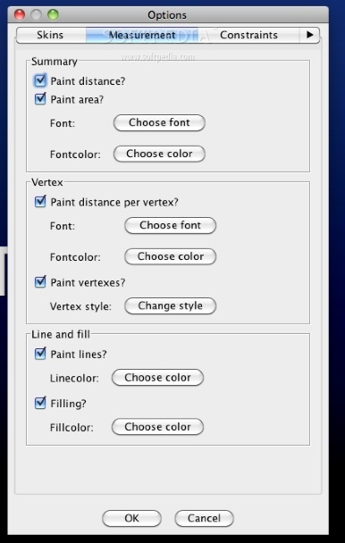
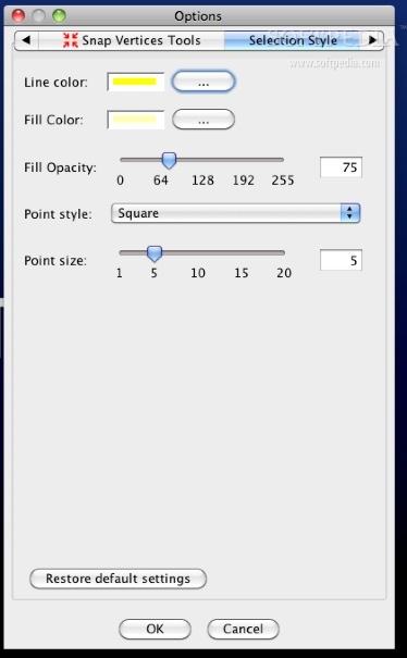
Users can style the appearance of data in OpenJUMP's map display and can also export the view to SVG.
User Reviews for OpenJUMP FOR MAC 1
-
for OpenJUMP FOR MAC
OpenJUMP FOR MAC is a user-friendly GIS tool for reading and writing shapefiles with image display support. Great for styling data.