
Description
MassGeotagger
MassGeotagger is a handy little tool that’s totally free! It helps you pick a photo, a folder of photos, or even an entire folder tree, and updates the latitude and longitude coordinates in the EXIF data of your chosen images. How cool is that?
Update Your Photos with GPS Coordinates
Getting those GPS coordinates is easy. You just need to select one or more GPX files. Then, you can set the time difference between the camera’s timestamp saved in the EXIF data and the GPS time. This way, you can make sure everything lines up perfectly!
Different Ways to Match Coordinates
If you want to match JPG files with their GPS coordinates, there are some other fun methods too! You can choose one of the GPX waypoints directly or select a point on a map. Plus, if you prefer to enter it manually, that's totally an option as well!
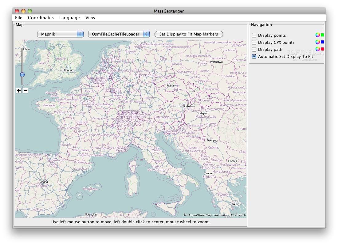
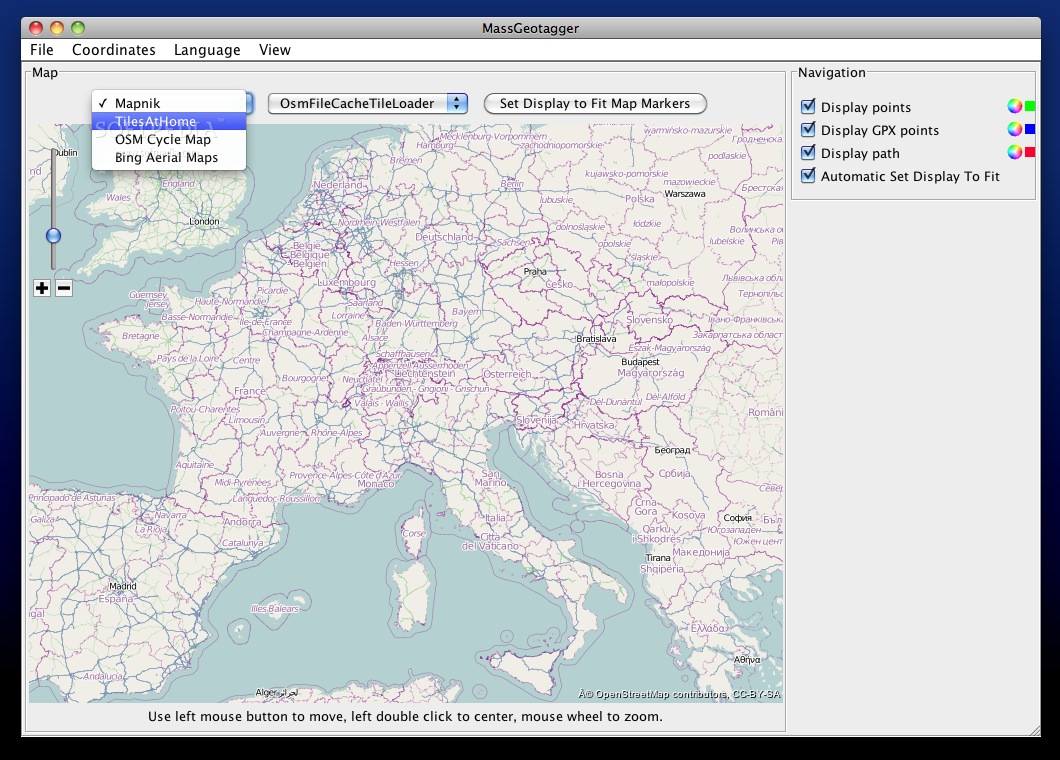
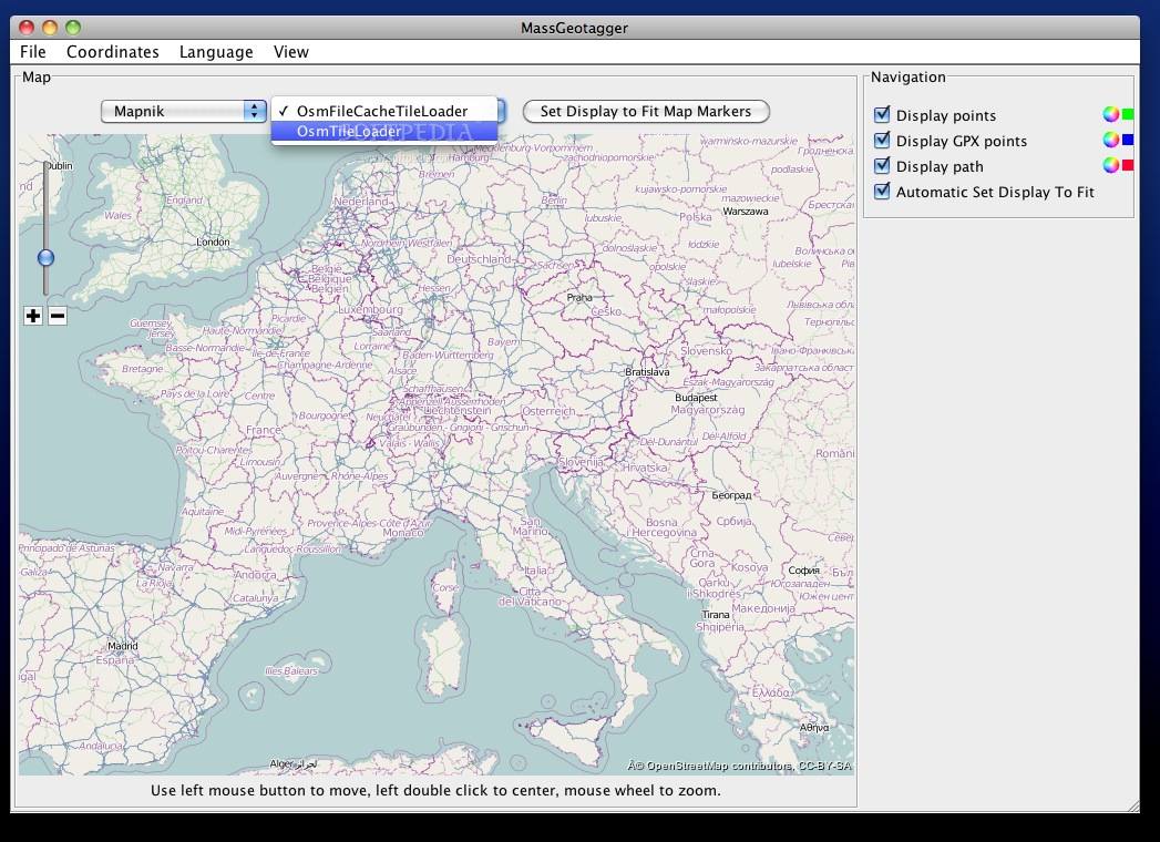
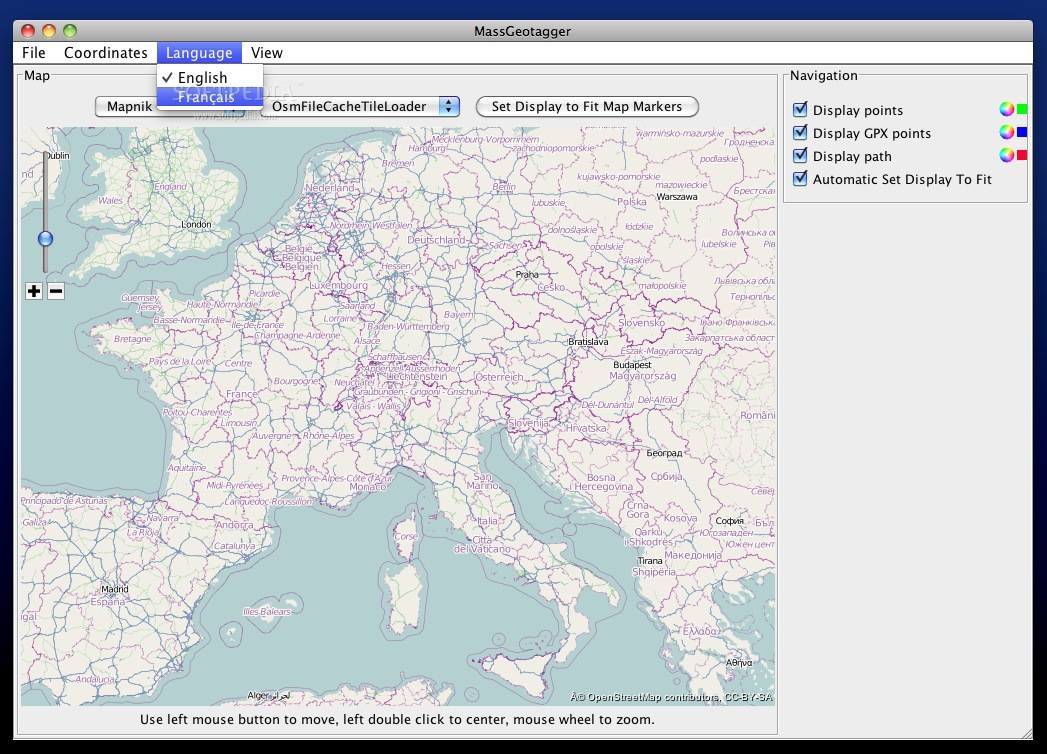
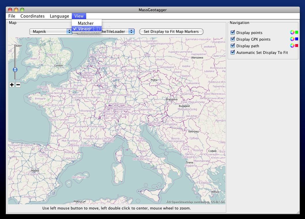
View Your Geotagged Photos on a Map
Another neat feature of MassGeotagger is its ability to show where your geotagged photos are located on a map. This makes it super easy to see where you've been snapping pics!
If you're ready to give it a try, check out this link for more details: Download MassGeotagger here!
User Reviews for MassGeotagger FOR MAC 1
-
for MassGeotagger FOR MAC
MassGeotagger for Mac is a handy tool for updating photo coordinates. Multiple matching strategies and map viewing options make geotagging efficient.