
Description
MapTiler
MapTiler makes it super easy to publish maps right on your website! You can create cool overlays using standard maps from Yahoo Maps, Microsoft VirtualEarth, or Google Maps. Plus, if you're into 3D visuals, you can check out the results in Google Earth. How awesome is that?
Create Stunning Map Overlays
The app works with a bunch of different file types too! Whether it's ECW, NOAA BSB, JPEG, TIFF, GeoTIFF, Erdas HFA, or MrSID—no problem! Just think of all the possibilities.
User-Friendly Interface
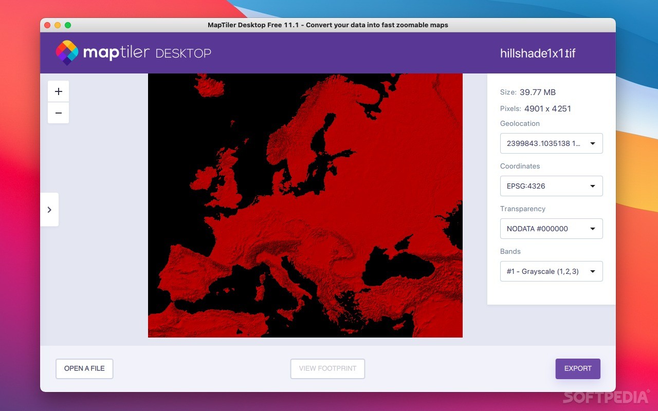
Getting started is a breeze. Just launch the MapTiler utility and import the map you want to play with right into the main window. On the right side of your screen, you'll find options to view and tweak the coordinate system and geographical locations. It's all laid out nicely!
Adjust Your Settings for Accuracy
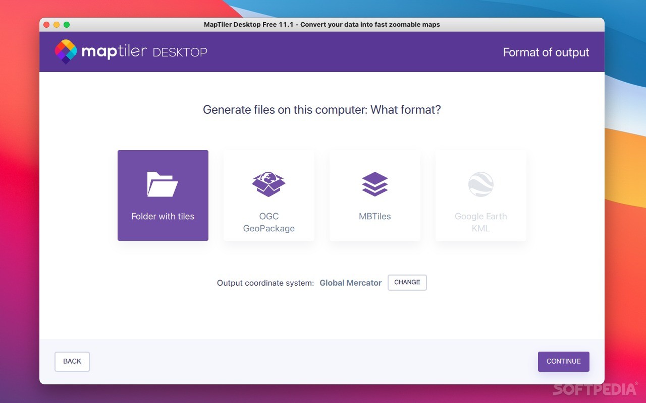
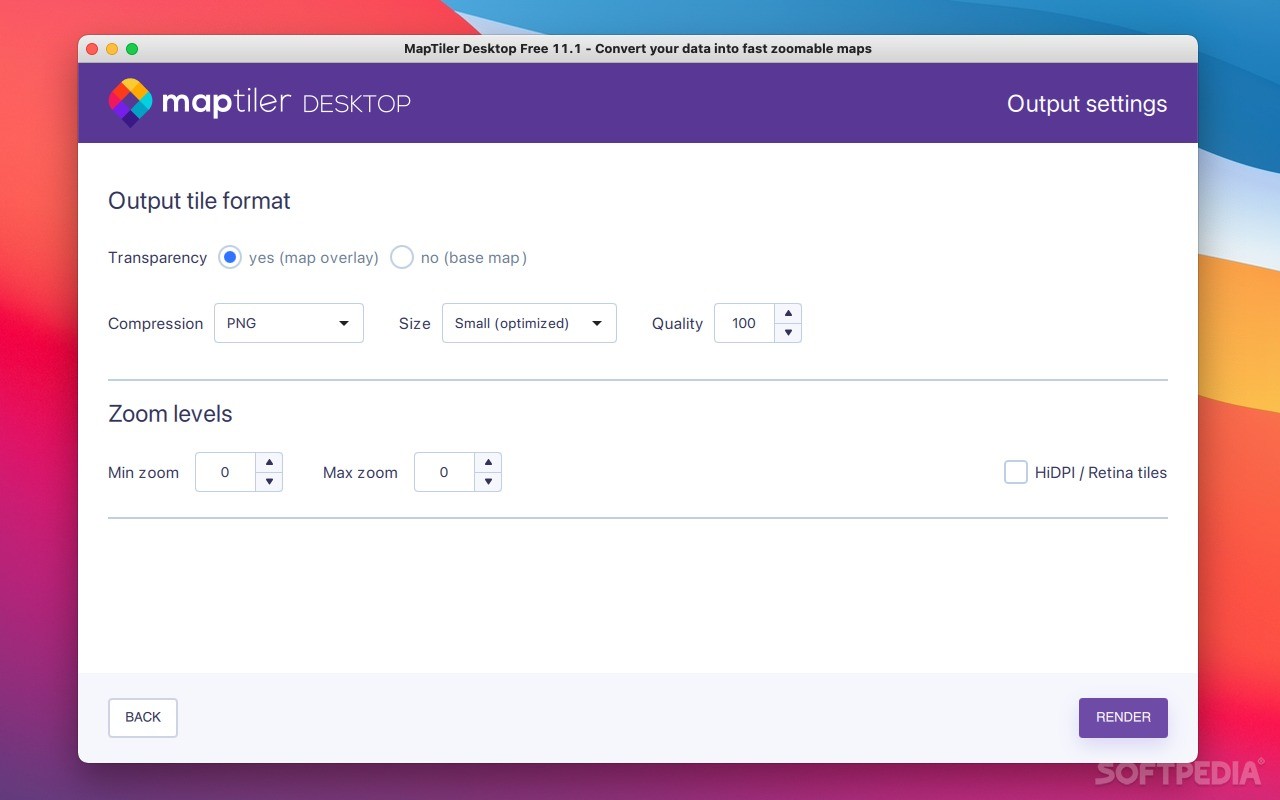
You can preview how accurate your coordinates are before you export them. Hit that "Export" button when you're ready! Before rendering your final map tiles, you can adjust zoom levels, re-sampling modes, and even transparency settings.
Easily Share Your Maps
Once you're done processing everything, you'll get a folder filled with map tiles. These can be easily uploaded to any online hosting service so others can check out the maps you've created using MapTiler.
No Stress Learning Curve
The best part? MapTiler isn't hard to use at all! If you know where to find your source map and set up the correct geographical location, you'll be good to go!
If you're ready to start creating amazing maps today, check it out here: Download MapTiler Now!
User Reviews for MapTiler FOR MAC 1
-
for MapTiler FOR MAC
MapTiler for Mac is user-friendly, allowing easy overlay creation for Yahoo Maps, Microsoft VirtualEarth, and Google Maps. Efficient 3D visualization with Google Earth.