
Description
GRASS GIS
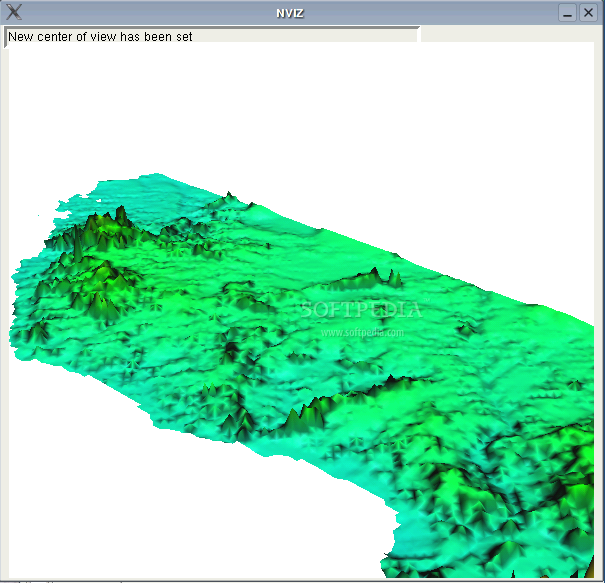
GRASS is a super handy Geographic Information System (GIS) that helps with everything from managing and analyzing geospatial data to image processing. It’s also great for producing graphics and maps, doing spatial modeling, and visualizing data. You’ll find GRASS GIS being used all over the place—from schools and universities to businesses and even by various government agencies and environmental consulting firms.
What Makes GRASS GIS Special?
This software isn’t just any tool; it’s free! Yes, you heard that right! GRASS is released under the GNU/GPL license, which means you can download it without spending a dime. That makes it super accessible for anyone who wants to dive into geospatial data analysis.
Who Uses GRASS GIS?
You might be wondering who actually uses this software. Well, it’s popular among academics doing research, companies needing detailed maps or analyses, and even governments tackling big environmental projects. It’s versatile enough to meet a range of needs.
Explore More About GRASS GIS
If you're curious about trying out GRASS GIS, I highly recommend checking it out! You’ll get to see how powerful this tool can be for all your geospatial tasks.
The Benefits of Using GRASS GIS
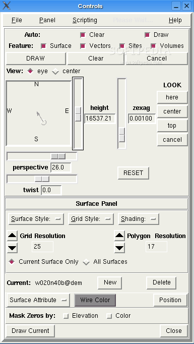
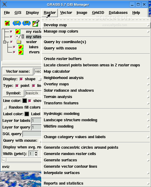
Using GRASS GIS gives you access to a wide array of features for both simple and complex tasks. Whether you're generating maps or conducting in-depth spatial analysis, this software has got you covered!
Tags:
User Reviews for GRASS GIS FOR LINUX 7
-
for GRASS GIS FOR LINUX
GRASS GIS FOR LINUX is a powerful tool for geospatial data management. It's widely used in academic, commercial, and government sectors.
-
for GRASS GIS FOR LINUX
GRASS GIS is an outstanding tool for geospatial analysis! It's powerful, intuitive, and free!
-
for GRASS GIS FOR LINUX
Amazing app! GRASS GIS makes managing and analyzing geospatial data so much easier. Highly recommend!
-
for GRASS GIS FOR LINUX
I love using GRASS GIS! The functionality is top-notch for image processing and map production.
-
for GRASS GIS FOR LINUX
GRASS GIS has been a game changer for my work in environmental consulting. Fantastic software!
-
for GRASS GIS FOR LINUX
Incredible app! GRASS GIS offers extensive tools for spatial modeling and visualization. A must-have!
-
for GRASS GIS FOR LINUX
GRASS GIS is simply the best for geospatial data management. It's robust, user-friendly, and free!