
Description
GPlates
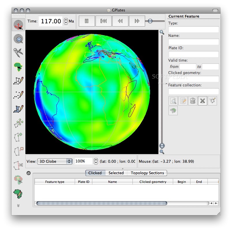
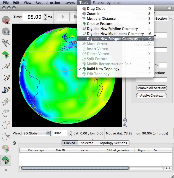
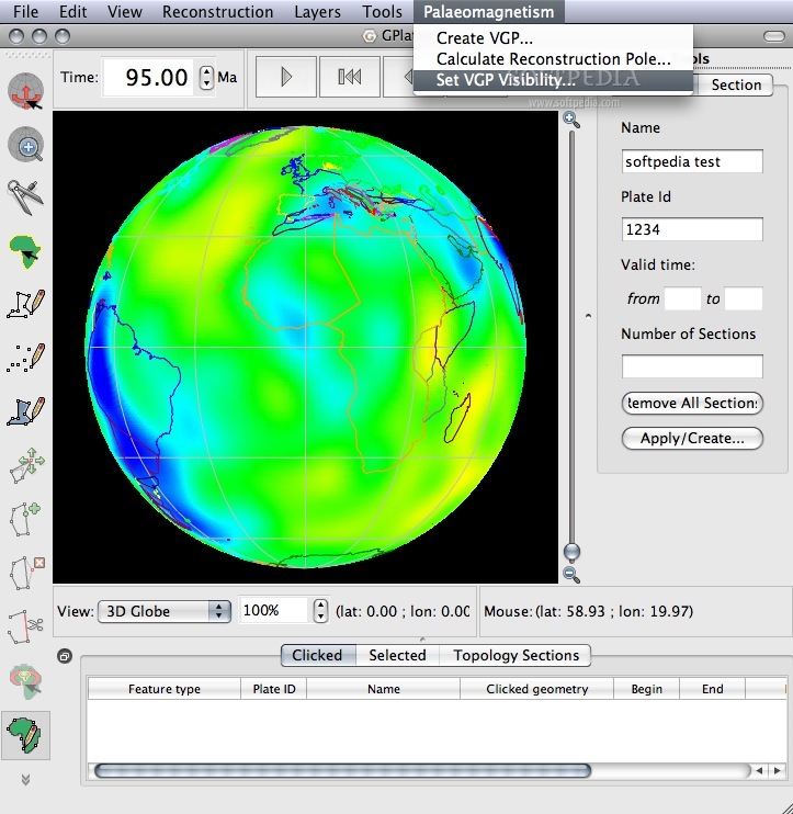
GPlates is a super cool tool that mixes interactive plate-tectonic reconstructions with geographic information system (GIS) features and awesome raster data visualization. It’s like having a window into the Earth’s movements over time!
Explore Plate-Tectonic Reconstructions
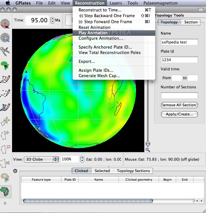
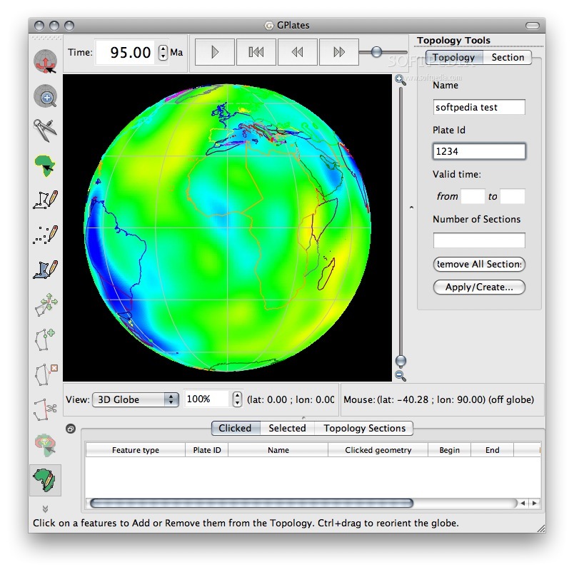
With GPlates, you can not only see but also manipulate plate-tectonic reconstructions and all the related data throughout geological history. Imagine being able to play around with how continents shifted millions of years ago!
Compatibility Across Platforms
This software works smoothly on Mac OS X, Windows, and Linux, so no matter what computer you’re using, you can dive into the fascinating world of tectonics.
Data Handling Made Easy
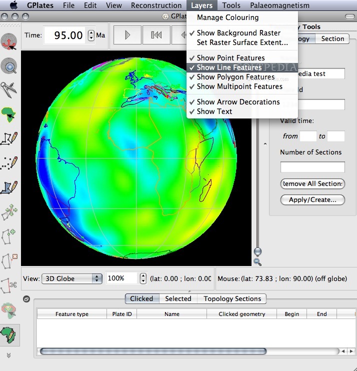
- You can handle and visualize data in different geometries and formats, including raster data.
- GPlates links plate kinematics to geodynamic models.
- You can use it as an interactive client in a grid-computing network.
- This tool helps create high-quality paleo-geographic maps that show how our planet looked ages ago!
Get Started with GPlates!
If you're interested in exploring this fantastic software for your research or projects, check it out! You can download GPlates here. It's packed with features that'll blow your mind about the Earth’s past!
User Reviews for GPlates FOR MAC 1
-
for GPlates FOR MAC
GPlates for Mac offers a unique blend of plate-tectonic reconstructions and GIS functionality. Ideal for visualizing geological data on Mac OS X.