
Description
GeoTag
GeoTag is a super handy macOS app that makes adding geolocation data to your image files a breeze. You won't have to navigate through any complicated processes! It's worth mentioning that GeoTag uses the ExifTool, which you need to install separately, but don't worry, it's pretty straightforward.
User-Friendly Interface
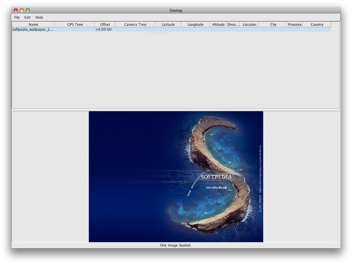
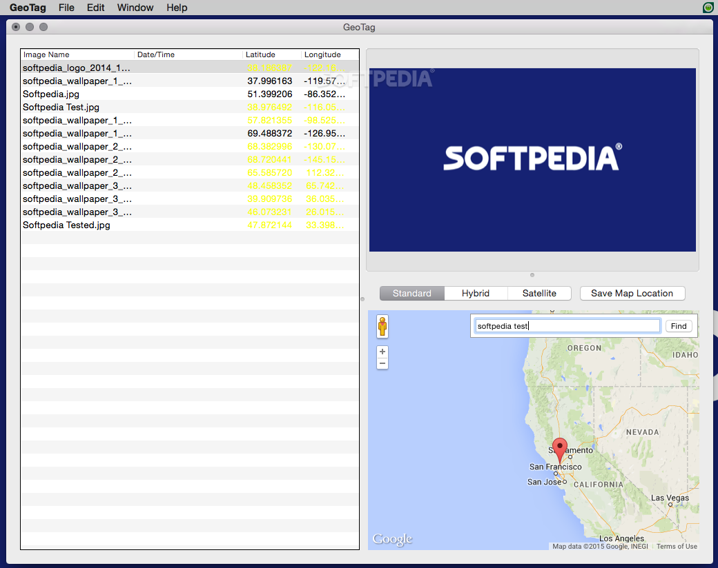
The whole experience with GeoTag happens in one simple window. Here, you can see all the files you've imported and are ready to work on. There's an area where you can preview the picture you've selected, and on the side, there's a map section for navigation.
Interactive Map Features
GeoTag integrates with Google Maps, so you can view maps in standard, hybrid, or satellite modes. Zooming in and out is easy! Plus, there's a search tool to find specific locations quickly. If you're working in an area often, you can save that spot on the map too!
Adding Geolocation Data Made Easy
To add geolocation info to your images, just find your spot on the map and click to set a pin there. If you need to make changes later on, just drag that pin around. And if things don't turn out how you wanted? No worries! GeoTag has Undo and Redo options at your fingertips.
Batch Processing for Time-Saving
You can also batch geotag multiple images at once—super useful when you've got lots of pictures! Just remember to save your changes before closing the app. The original files will go to trash while the new geotagged ones replace them right away.
Intuitive GUI for Everyone
This app provides a friendly graphical user interface for ExifTool, which usually works via command line—so it's way more accessible! With easy drag-and-drop actions and batch processing abilities, embedding geolocation data into your files has never been easier.
Tags:
User Reviews for GeoTag FOR MAC 1
-
for GeoTag FOR MAC
GeoTag FOR MAC is a user-friendly tool with a simple interface. Embedding geolocation data to images is easy and efficient.