
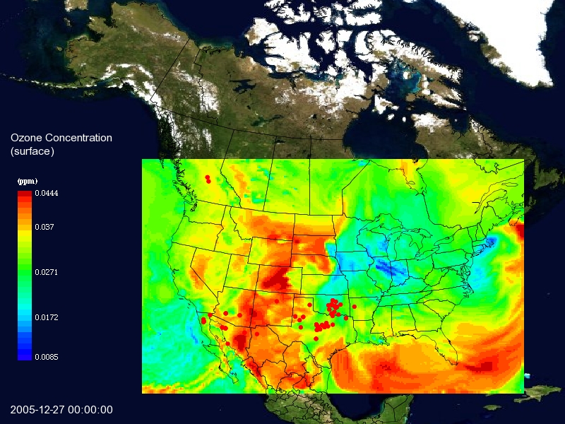
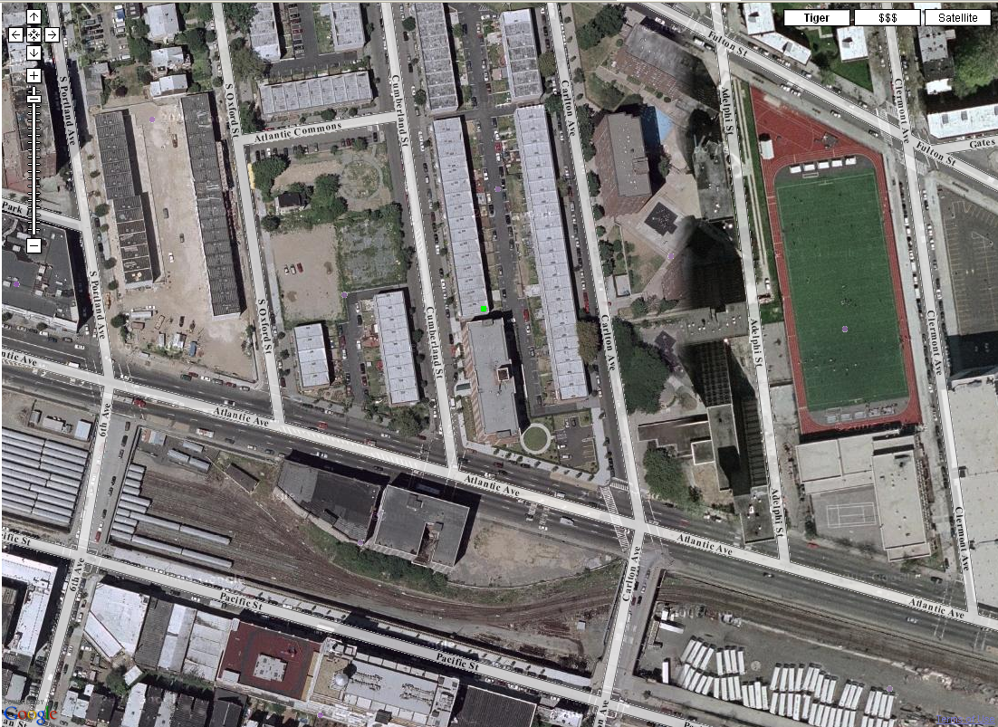
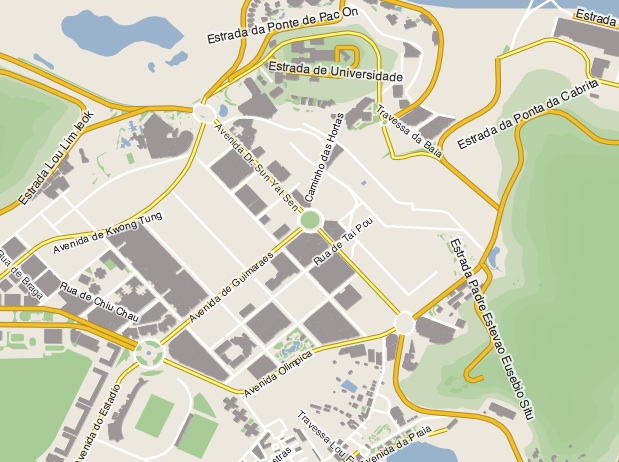
Description
GeoServer is an easy to use, handy open source server built to connect you with the Geospatial web. It can be used to edit and publish data by open standards.
You information can be visualized in a large variety of formats, like maps or even geospatial data.
It supports WFS-T and WMS open protocols from the OGC and it can be used to produce PNG, PDF, GML, KML, SVG and JPEG, among others.
User Reviews for GeoServer FOR MAC 1
-
for GeoServer FOR MAC
GeoServer FOR MAC provides easy access to Geospatial web data. Supports various formats and open protocols for efficient data editing and publishing.