
Description
Geodetic Calculations - Essential Software for Precise Geographical Measurements
In the world of geographical measurements and Earth sciences, precision is paramount. Download Geodetic Calculations software to access a powerful tool designed specifically for professionals who require accurate coordinate determinations and positional calculations. This utility represents an invaluable resource for anyone working in fields related to geodesy, construction, navigation, or land management.
Understanding Geodesy and Its Applications
Geodesy represents a sophisticated branch of applied mathematics and earth sciences concerned with measuring precise parameters of our planet. These parameters include crustal motion, tides, gravitational fields, and complex 3D time-varying spaces. In practical terms, geodesists utilize these principles to define coordinates of surface points with remarkable consistency through Global Positioning Systems.
The data generated through geodetic calculations provides essential information for multiple industries. City planners rely on this data to develop accurate urban layouts, while architects depend on precise measurements for structural designs. Local officials and land developers benefit from geodetic data when determining exact land boundaries for construction projects or conservation efforts.
The transportation sector, particularly maritime navigation, represents another field where geodetic calculations prove invaluable. Ship captains and maritime authorities use geodetic information to create precise nautical charts or enhance existing ones, ensuring safer voyages and more efficient shipping routes.
The Importance of Precision in Geodetic Measurements
When discussing geodetic measurements, accuracy represents a fundamental requirement. Modern geodetic tools offer precision down to the centimeter scale - a level of detail that might initially seem excessive but proves crucial in numerous practical applications.
Consider commercial shipping, where centimeter-accurate charts enable captains to precisely determine their vessel's position relative to the ocean floor. This level of detail helps prevent accidents such as large cargo ships striking underwater rock formations or allows safer navigation through narrow channels. When transporting valuable cargo or navigating challenging waterways, this precision becomes not just useful but essential.
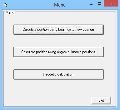
Key Features of Geodetic Calculations Software
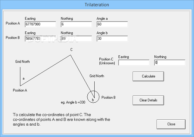
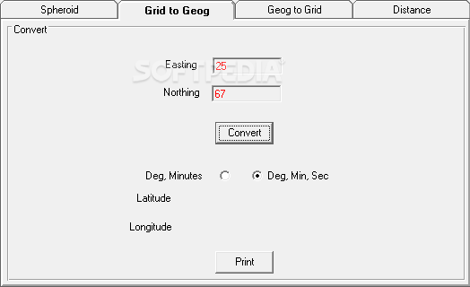
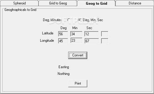
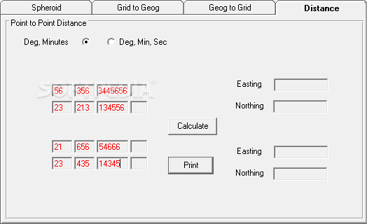
- Advanced coordinate calculations using bearing to new locations
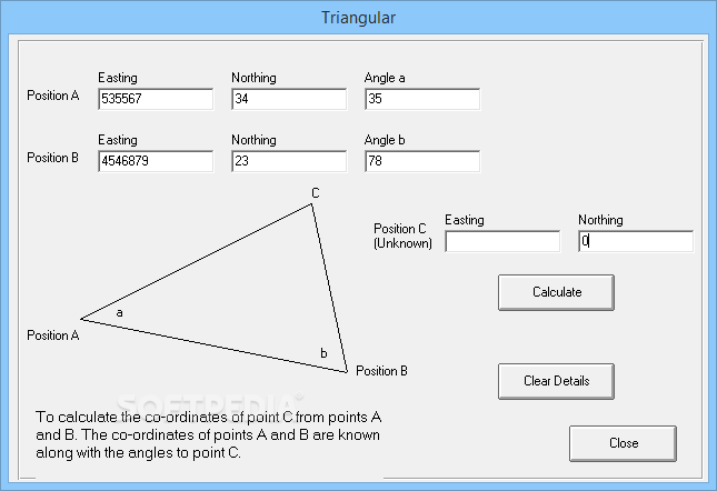
- Position determination through angles of known reference points
- Precise calculation of any position by specifying easting, northing, and angles
- Compatibility with standard geodetic data formats
- User-friendly interface designed for both novice and experienced geodesists
- Comprehensive reporting capabilities for project documentation
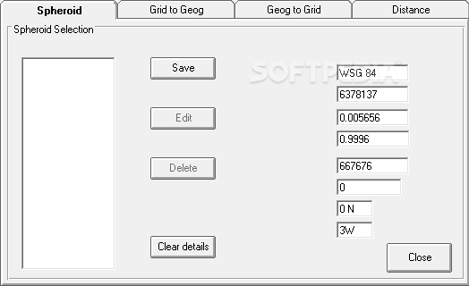
- Support for various coordinate systems and projections
Who Benefits from Geodetic Calculations Software?
The Geodetic Calculations download offers significant advantages to professionals across multiple disciplines. Civil engineers rely on this software when planning major infrastructure projects, ensuring foundational elements align precisely with geographical realities. Surveyors use these calculations daily to establish property boundaries and create accurate land maps.
Maritime professionals benefit significantly from geodetic software when charting shipping lanes or determining safe harbor approaches. Environmental scientists utilize geodetic data when monitoring land changes, sea level variations, or geological shifts that might impact ecosystems or human settlements.
Technical Specifications
- Operating System: Windows 7/8/10/11
- Memory Requirements: 2GB RAM minimum, 4GB recommended
- Disk Space: 500MB available storage
- Processor: 1.5GHz or faster
- Additional Requirements: Internet connection for update access
- File Format Support: CSV, TXT, XML geodetic data formats
Practical Applications in Large-Scale Projects
When undertaking significant construction initiatives or planning transportation routes, Geodetic Calculations software provides essential computational assistance. The program delivers advanced calculative capabilities that help determine optimal building locations, efficient travel routes, and accurate dimensional planning.
For construction projects, the software enables precise foundation placements and structural alignments that account for Earth's curvature - a crucial consideration in large-scale developments. Transportation planners utilize the geodetic calculation tools to develop efficient routes that minimize fuel consumption while maximizing safety parameters.
Land management professionals find the coordinate calculation features particularly valuable when establishing conservation boundaries or determining property lines in complex geographical areas. The software's ability to process angular measurements between known points facilitates accurate determinations even in challenging terrain.
User Experience and Accessibility
Despite handling complex mathematical concepts, Geodetic Calculations offers an accessible interface that balances technical capability with user-friendly design. The software guides users through calculation processes with clear input fields and logical workflow patterns, making advanced geodetic computations available even to those with limited specialized training.
Whether you're a geodesy expert or a professional who occasionally needs precise geographical calculations, this software provides the tools necessary for accurate positional determinations. Download Geodetic Calculations today to enhance your geographical measurement capabilities and ensure your projects benefit from centimeter-level precision.


```
User Reviews for Geodetic Calculations 10
-
for Geodetic Calculations
Geodetic Calculations is a precise tool for city planners and architects, enabling accurate land boundary determinations. Useful for large-scale building projects.
-
for Geodetic Calculations
Geodetic Calculations provides accurate measurements for nautical charts, aiding sailors in safe navigation. Essential for transportation industry professionals.
-
for Geodetic Calculations
Geodetic Calculations offers advanced calculations for developers and local officials. Useful for determining best locations and routes in various projects.
-
for Geodetic Calculations
Geodetic Calculations ensures accuracy and efficiency in placing coordinates.
-
for Geodetic Calculations
Geodetic Calculations is a game changer! It provides precise measurements that are invaluable for my projects.
-
for Geodetic Calculations
Absolutely love this app! The accuracy of the calculations helps me plan my building designs flawlessly.
-
for Geodetic Calculations
This app is a must-have for anyone in construction or navigation. It's incredibly accurate and user-friendly!