
Description
Charts&Tides
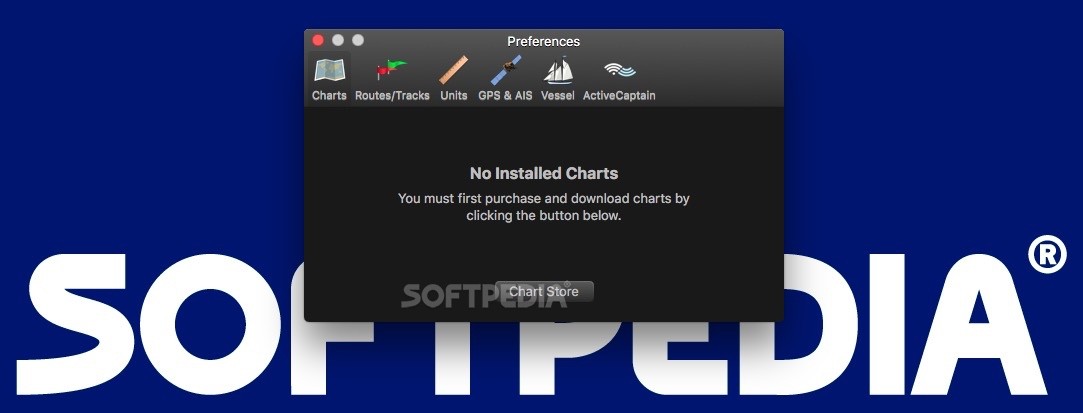
Charts&Tides is a super handy chart visualizer made for maritime navigators. It helps you plan your trips and stick to your routes. While it doesn't come with built-in nautical charts, you can easily buy some from the in-app store.
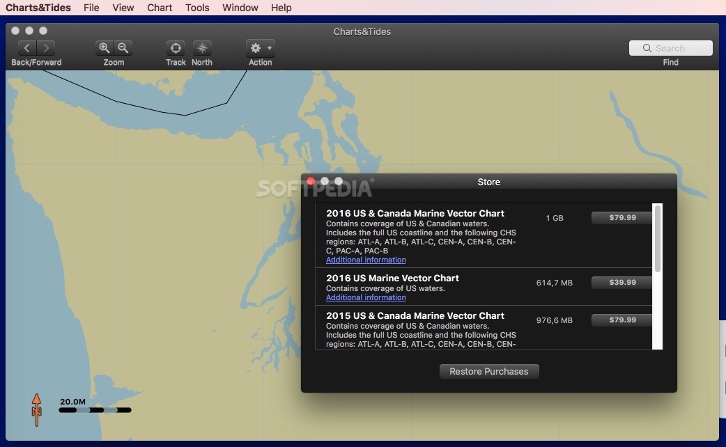
Purchase Vector Marine Charts
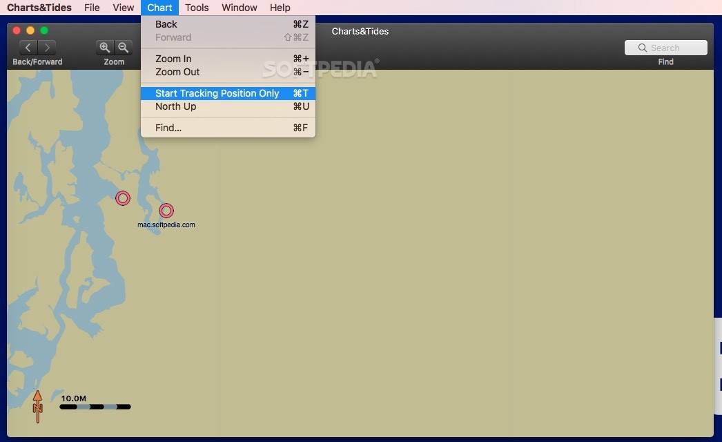
In the Charts&Tides store, you can snag vector marine charts for both the US and Canada. Once you've got them, exploring within the app is a breeze! You can navigate back and forth, zoom in or out, and even point out north with just a few taps.
Navigational Tools at Your Fingertips
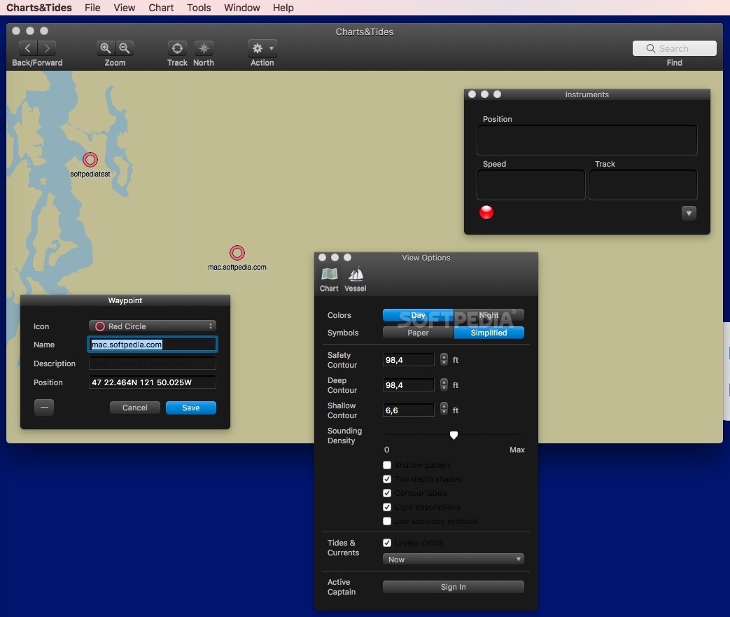
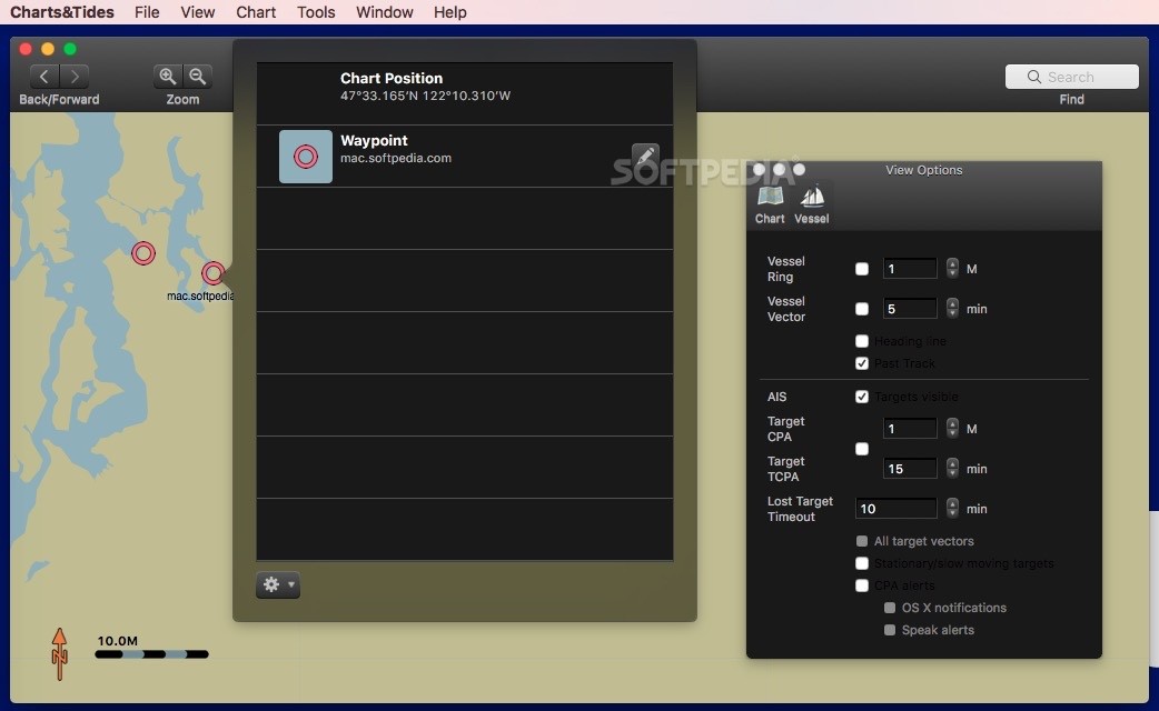
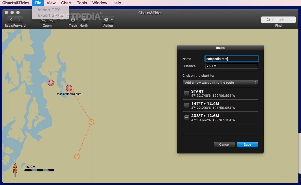
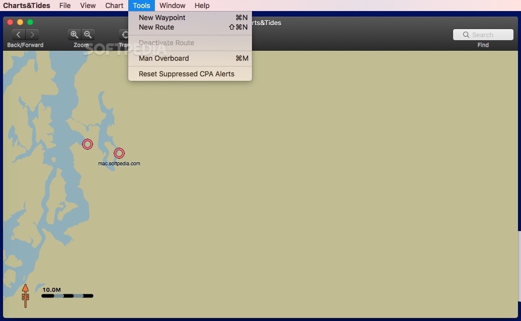
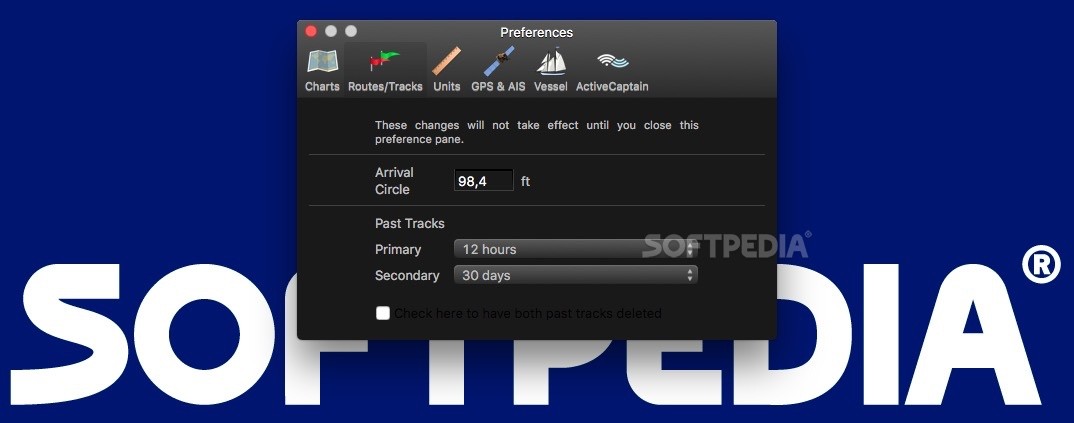
This app isn’t just about pretty maps—it also has a bunch of tools to help you track your position, speed, distance, bearing, and more! You can set waypoints and create routes that fit your journey perfectly.
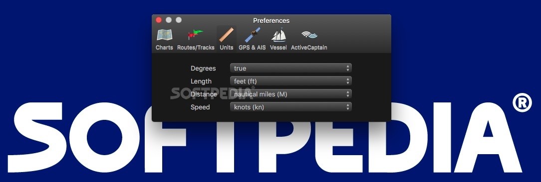
Customize Your Viewing Experience
Charts&Tides gives you control over how you view your charts. You can tweak the color palette based on the time of day, choose between paper or simplified symbols, adjust contour sizes, and check out details about tides and currents. It's all about making navigation easier!
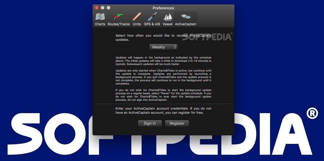
Connect with ActiveCaptain
You can sign into your ActiveCaptain account right from the Charts&Tides Preferences window. This lets you access tons of chart data directly within the app. So not only do you get tide levels and speeds—but also info on potential hazards or marinas along your route.
Offline Access to Critical Information
The app regularly updates the ActiveCaptain database so that you're always in-the-know. Plus, it stores essential information offline—meaning you won't be stuck without access when you're sailing far from shore!
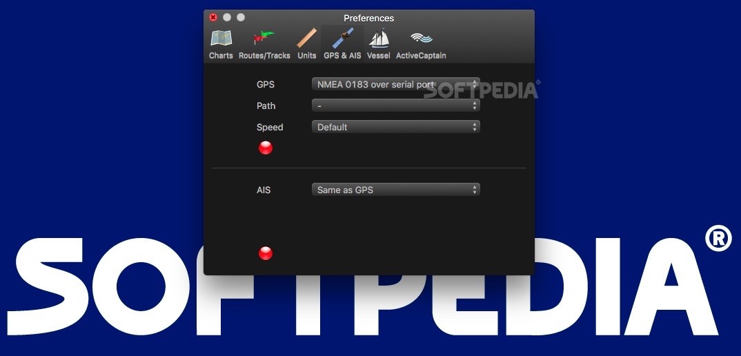
Navigating with GPS Devices
If you've got a GPS device connected to your computer, Charts&Tides uses that info to guide you along your route. It works great with devices using GPSD or NMEA 0183 standards.
Your Go-To for Maritime Maps!
This app provides access to maritime vector maps based on CHS and NOAA cartography. By linking up with the ActiveCaptain database, you'll quickly find crucial details like tide levels, hazards, marinas—you name it!
Create Routes & Export Data!
You can use the chart viewer to carefully plan your routes and even export everything in GPX format for easy use elsewhere! Plus, if you're navigating while using Charts&Tides, it works smoothly with AIS devices too. It’ll send CPA alerts and switch between day/night views to keep things easy on your eyes.
Tags:
User Reviews for Charts&Tides FOR MAC 1
-
for Charts&Tides FOR MAC
Charts&Tides FOR MAC provides valuable tools for maritime navigators: purchasing marine charts, determining position, planning routes, and adjusting viewing modes.