
Description
Sometimes, you may find yourself struggling to convert CAD files into a format that's usable in GIS applications. It's a common issue, especially when you're working on projects that require precise data integration between different types of software.
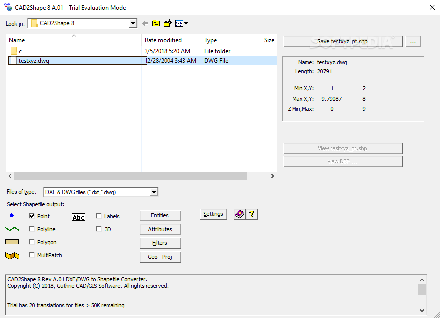
Cad2Shape is a powerful and easy-to-use application designed to convert your CAD drawings into shapefiles effortlessly. The software translates all AutoCAD DXF and DWG versions, including the latest releases from 2018 to 2025.
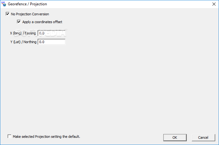
The interface works like a wizard, and it can guide you through the entire process. To convert files, you simply select your CAD file, choose the output format, set the coordinate system if needed, and start the conversion.
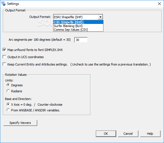
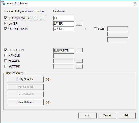
The program primarily works with specific shapefile output types, including Point, Polyline, Polygon, MultiPatch, and 3D. Based on the output selected, you may view different attributes at this point. Nevertheless, they are additional data fields that describe each shape, such as size, material, or other properties, nothing too complicated.
The program includes a few noteworthy, advanced features, such as translating to 2D or 3D shapefiles. You can enhance your CAD data by converting it to include height information (3D) or attach a specific elevation value (Z) to a 2D shapefile.
You can also translate 3D to MultiPath if your image includes complex surfaces, like building or terrains, as one connected shape. It makes the data more detailed, especially for things like terrain modeling or visualizing physical landscapes.
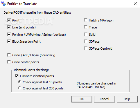
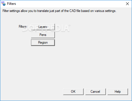
Of course, Cad2Shape also includes the simpler, standard features you would expect,such as the ability to convert CAD files to shapefiles, support for various AutoCAD DXF and DWG versions, and text-to-labels or text-to-polyline conversion. You can also filter data by layer, area, color, or entity and export to CSV or XYZ formats, making it easy to work with basic shapefile conversion tasks.
User Reviews for CAD2Shape For Windows 1
-
for CAD2Shape For Windows
CAD2Shape is a lifesaver for GIS professionals. With its intuitive interface and powerful features, converting CAD files to shapefiles has never been easier.